Woburn Maps
With each of the following maps please click on the image to see a larger version.
The map below is a copy of an engraving of Woburn and area made in 1661 [ref: X1/33]
![The town in 1661 [X1-33]](/CommunityHistories/Woburn/WoburnImages/The town in 1661 [X1-33]_260x300.jpg)
The town in 1661 [ref: X1/33]
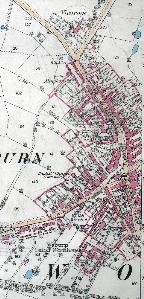
The three images below are taken from Thomas Evans' estate survey [ref: R1/240]. The map dates from 1810 and was updated by Evans in 1817. There is an accompanying book detailing all the land and properties numbered [ref: R2/68] and this dates from 1820.
![The main part of the town in 1810 [R1-240]](/CommunityHistories/Woburn/WoburnImages/The main part of the town in 1810 [R1-240]_212x300.jpg)
The main part of the town in 1810 [ref: R1/240]
![From George Street to Speedwell in 1810 [R1-240]](/CommunityHistories/Woburn/WoburnImages/From George Street to Speedwell in 1810 [R1-240]_352x62.jpg)
From George Street to Speedwell in 1810 [ref: R1/240]
![Map of Leighton Street in 1810 [R1-240]](/CommunityHistories/Woburn/WoburnImages/Map of Leighton Street in 1810 [R1-240]_93x301.jpg)
Map of Leighton Street in 1810 [ref: R1/240]
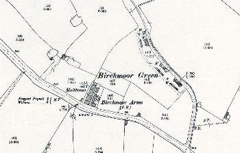
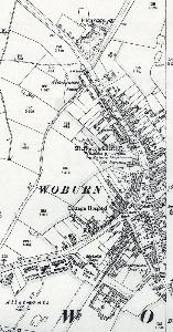
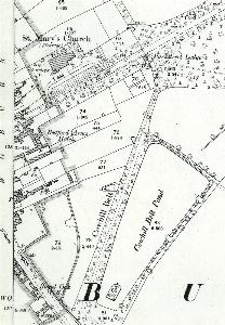
The following four maps are 1st edition 25 inches to the mile Ordnance Survey maps of 1882
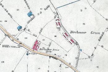
Birchmoor Green in 1882
The main part of the town in 1882
The eastern part of the town in 1882
Leighton End in 1882
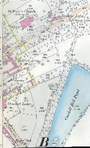
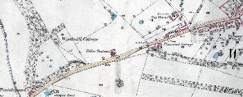
The following five maps are 2nd edition 25 inches to the mile Ordnance Survey maps of 1901.
Birchmoor Green in 1901
The main part of the town in 1901
The eastern part of the town in 1901
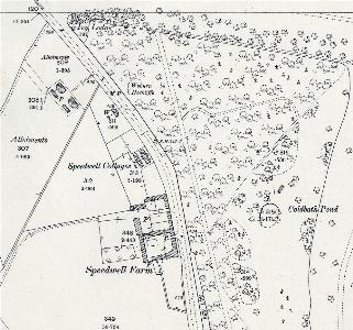
Speedwell in 1901
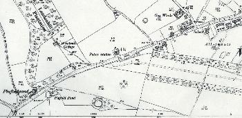
Leighton End in 1901