Riseley Maps
The map below accompanied the inclosure award for Riseley [A24] and dates from 1793. To see a larger version please click on the image.
![Riseley in 1793 [MA24]](/CommunityHistories/Riseley/RiseleyImages/Riseley in 1793 [MA24]_349x247.jpg)
Riseley in 1793 [MA24]
The maps below are from the Ordnance Survey 1st edition 25 inches to the mile series. Again, to see a larger version please click on the image.
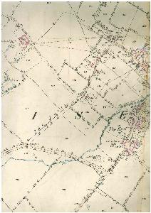
Top End and Rotten Row 1884
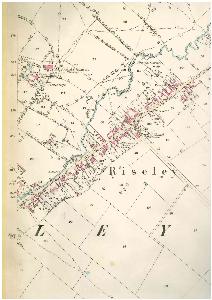
The church and central part of the High Street 1884
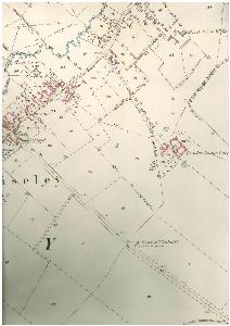
The north-east part of the High Street 1884