Potton Maps
The map below shows the town of Potton at the time the parish underwent its second parliamentary inclosure in 1832. To see a larger version please click on the image.
![Potton in 1832 [MA58-1]](/CommunityHistories/Potton/Images/Potton in 1832 [MA58-1]_195x295.jpg)
Potton in 1832 [MA58/1]
The four maps below are sections of the 1st and 2nd Ordnance Survey 25 inches to the mile series maps for Potton. To see a larger version please click on the relevant image.
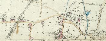
The northern part of Potton in 1884
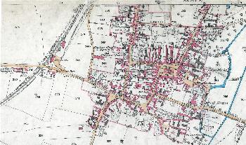
The main part of Potton in 1884
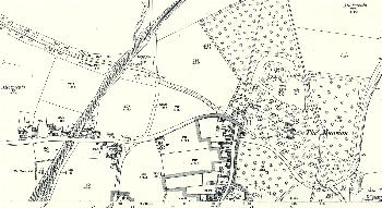
The northern part of Potton in 1901
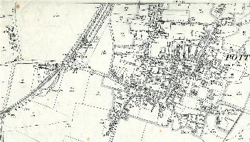
The main part of Potton in 1901