The Parish of Potton in General
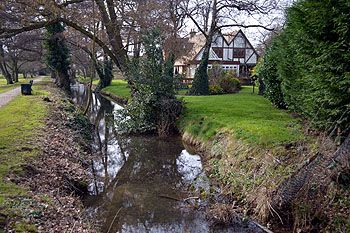
Potton Brook looking south February 2013
Landscape
The underlying, or solid, geology beneath Potton is a claystone known as Woburn Sands Formation. This sedimentary rock was laid down between 99 and 121 million years ago in the warm, shallow seas of the Cretaceous Period. The soil above is also clay with some exceptions: around the Deepdale crossroads is a mixture of sand, gravel, silt and clay known as head. The line of Potton Brook is marked by a band of alluvium, another mixture of sand, gravel, silt and clay.
Potton is a low lying parish, in common with most of east Bedfordshire. The church stands at about 150 feet above sea-level. Potton Brook at Brook End is around 125 feet above sea-level with the Market House at 132 feet. The former station is 154 feet above sea-level and the Deepdale crossroads 128 feet with the Bricklayers Arms at nearly 160 feet. Not surprisingly the former windmill is higher than any of these at 185 feet above sea-level.
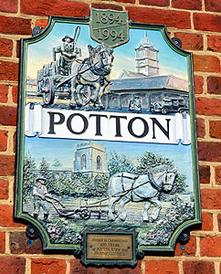
Potton sign in the Market Square February 2013
Name
The name Potton means either “farm by a hollow” or “farm where pots were made”. It comes from the Old English “tun”, a farm, and “pott” which could mean a hollow or a pot. The name is first recorded about 960. The modern version is first recorded in 1203 and the name has had few changes down the years:
- Pottun: c.960-1241;
- Potone: 1086-1329;
- Potton juxta Sutton: 1384.
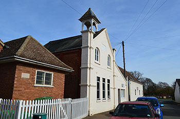
Potton Town Council offices February 2013
Administrative History
Potton is an ancient parish in the Biggleswade Hundred. The Cambridgeshire parish of Gamlingay lies to the north. The ancient parishes of Cockayne Hatley lay to the east and Wrestlingworth to the south-east (now one civil parish of Wrestlingworth and Cockayne Hatley). Sutton lies to the south, Sandy to the south-west and Everton to the west.
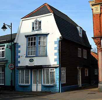
6 Market Square February 2013
Population
The number of men noted in the Domesday Book for Potton was 37. To gain an idea of the total population this figure should be multiplied by at least four to account for their dependents. This gives a total in excess of around 150 - a good size for a population at the time. There are no population figures for Potton when it was at its zenith, before the great fire, but the last two hundred years show a steady growth. In 1801 Potton was the 11th most populous parish in the county, ahead of Kempston. By 2011 the parish was still 15th.
- 1801: 1,103;
- 1811: 1,154;
- 1821: 1,498;
- 1831: 1,768;
- 1841: 1,781;
- 1851: 1,922;
- 1861: 1,944;
- 1871: 2,072;
- 1881: 2,006;
- 1891: 1,907;
- 1901: 2,033;
- 1911: 2,156;
- 1921: 2,087;
- 1931: 1,955;
- 1951: 2,042;
- 1961: 2,070;
- 1971: 3,026;
- 1981: 3,620;
- 1991: 4,162;
- 2001: 4,476;
- 2011: 4,870.