The Parish of Kempston in General

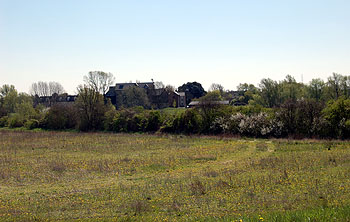
The view from The Branston Way to Kempston Mill May 2013
Landscape
The underlying, or solid, geology of Kempston is complex. There is a band of sedimentary rock known as Great Oolite Group along the river and parallel to it: this is an inter-bedding of limestone and argillaceous rocks all laid down between 164 and 169 million years ago in the warm, shallow seas of the Jurassic Period. An area to the west of Hillgrounds Road has an underlying geology of Kelleways Clay Member – a mudstone laid down between 159 and 164 million years ago. There is a narrow band of Peterborough Member, a mudstone laid down at the same time as the Kelleways Clay Member lying south of the High Street and Elstow Road and also cobering much of the south of the parish as far as the Woburn Road Industrial Estate.
Superficial geology also varies but is, as one would expect so near a major river, dominated by sand and gravel. All along the river the soil is an alluvium of clay, silt, sand and gravel laid down in the last two million years, further south this gives way to river terrace deposits of sand and gravel formed at the same time. To the west of Hillgrounds Road is another variation on this theme called Head, another mixture of gravel, and, silt and clay.
All of Kempston is relatively low-lying. The Saxon Centre stands 137 feet above sea-level and the former Bedfordshire Middle Class Public School (the site of the current Technology House) is 105 feet. The river itself averages 95 feet above sea-level.

Kempston sign 2013
Name
The name Kempston was first recorded in 1060 as Kemestan, in the Domesday Book it is Camestone. It is first recorded in its modern form in 1247. The name is not an easy one to determine. The second syllable is the Old English “tun” meaning farm or settlement. It has been suggested [Bedfordshire Place Names published 1926, page 76] that the first element may relate to the bend in the River Great Ouse and come from the Celtic “cambo” meaning crooked, thus “farm in the crook of the river”.
The name has undergone a number of variations over the years as the following shows:
- Kemestan 1060-1199;
- Cœmbestun c.1060;
- Cæmbestune (1077);
- Camestone (1086-1200);
- Canbestuna (1124-1128);
- Kembeston (1176-1402);
- Kemeston (1189-1332);
- Kamistuna: 1195;
- Camestun: 1195;
- Chemiston: 1199;
- Cemeston: 1199;
- Cambesdon: 1201;
- Kimbeston: 1201;
- Cambeston: 1236;
- Kemston: 1236-1349;
- Kembestun: 1237-1253;
- Kemestun: 1241;
- Kemyston: 1242;
- Kempston: 1247 onwards;
- Kempeston: 1276-1306;
- Kemmeston: 1276;
- Camston: 1328;
- Cameston: 1332

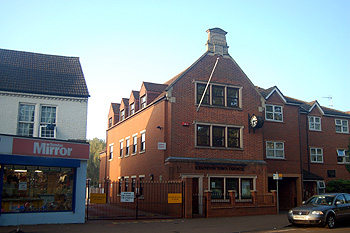
Kemspton Town Council building May 2012
Administrative History
Kempston was an ancient parish in the Redbornstoke Hundred. In 1896 the civil parish was divided into two: Kempston Urban District, now simply called Kempston, and the civil parish of Kempston Rural. The urban district comprised, essentially Bell End and Up End, names which can only be traced back to the 17th or 18th century and New Town.
Bell End was that part of Kempston in the west of the modern parish based around Kempston High Street. It was, presumably, named after the Bell Inn which stood in Water Lane until the early 19th century.
Up End lay to the south of the modern parish and was based around the modern Woburn Road, Saint John's Street and Bunyan Road. The ground does, indeed, rise up to forty feet from the level of the river.
New Town was in the east of the modern parish and comprised everything between Bunyan Road and the modern King Street and the Bedford boundary. Mill End, obviously that area around the mill was recorded in the Middle Ages but has not survived whereas Gravel End was invented in the 19th century to cover an area around Bunyan Road, although this name, too, has not survived the test of time.
The modern civil parish of Kempston is bounded by Bedford to the north-east, Elstow south-east, Kempston Rural south and west and Great Denham and Biddenham north-west. Volume III of The Victoria County History for Bedfordshire was published in 1912 and at that date the parish comprised 1,255 acres.
Kempston underwent two boundary changes in the 20th century. In 1934 it gaines small areas of both Elstow and Kempston Rural [CDP54/5]. In 1989 Ridgeway Special School and the Child Development Centre were transferred from the civil parish of Kempston Rural into Kempston [CDP89].
The ecclesiastical parish of Kempston mirrored the ancient parish. It was not until 1976 that The Church of the Transfiguration ceased to be a chapel of ease of All Saints at Church End and become the church of its own parish.

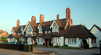
Saint John's Homes May 2012
Population
The Domesday Book of 1086 gives numbers of people in the Manor of Kempston as eighteen villagers, twelve smallholders and eight slaves. These thirty eight people would just have been heads of household and to arrive at a guess as to the size of the settlement one needs to multiply this figure by at least four, suggesting a total population in excess of one hundred and fifty – a very good size for the time.
In 1801 Kempston (which included today’s Kempston Rural) was the twelfth biggest parish in the county. Kempston is now [2013] the fifth biggest parish in the county having overtaken Ampthill, Biggleswade, Potton, Sandy, Toddington and Woburn (Eaton Socon is no longer in Bedfordshire).
Many parishes in the county underwent depopulation from the 1870s to the 1890s due to a long agricultural depression, but Kempston doubled in size in those years (from 2,706 in 1871 to 5,448 in 1901 if Kempston Rural is included in the figure for 1901). This is because the urban area, with its developing industry, was the recipient of people from nearby country parishes. Note that the figures for 1801 to 1891 include the modern parish of Kempston Rural which is excluded after this).
- 1801: 1,035;
- 1811: 1,161;
- 1821: 1,419;
- 1831: 1,571;
- 1841: 1,699;
- 1851: 1,962;
- 1861: 2,191;
- 1871: 2,706;
- 1881: 3,432;
- 1891: 4,736;
- 1901: 4,729;
- 1911: 5,349;
- 1921: 5,218
- 1931: 5,390;
- 1951: 8,645;
- 1961: 9,190;
- 1971: 12,826;
- 1981: 15,466;
- 1991: 17,938;
- 2001: 19,375;
- 2011: 19,330.