Toddington Maps
In order to see a larger version of each map on this page, please click on the appropriate image.
The copy below is a small section of Aga's map of Toddington of 1581 - the earliest map for any part of the county. The original is in the National Library. As will be seen the buildings seem to be shown as in life, certainly the church is a faithful reproduction of the original.
![Toddington on Agas map of 1581 [X1-102]](/CommunityHistories/Toddington/ToddingtonImages/Toddington on Agas map of 1581 [X1-102]_177x301.jpg)
The map below is part of the inclosure map for Toddington [MA1/1]. It dates to about 1800.
![The village in 1800 [MA1-1]](/CommunityHistories/Toddington/ToddingtonImages/The village in 1800 [MA1-1]_350x298.jpg)
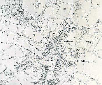
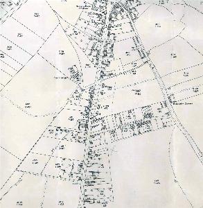
The maps below are parts of the 25 inches to the mile Ordnance Survey maps. The 1st edition was 1882 for Toddington, the second edition 1901 and the third edition, for Toddington, was 1925.
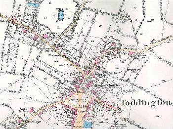
The northern half of the village in 1882
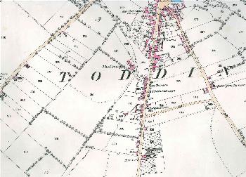
The southern half of the village in 1882
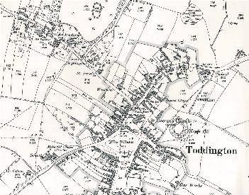
The northern half of the village in 1901
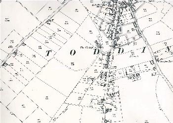
The southern half of the village in 1901
The northern half of the village in 1925
The southern half of the village in 1925