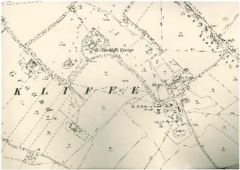
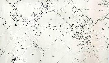
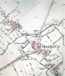
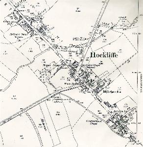
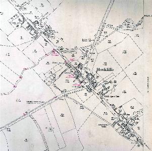
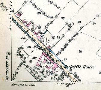
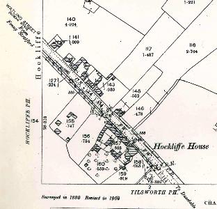
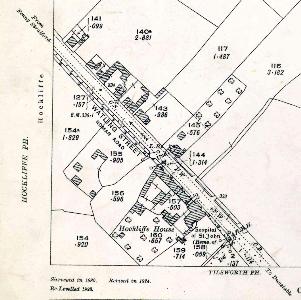
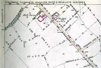
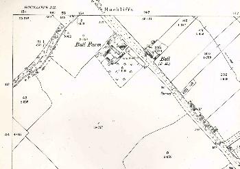
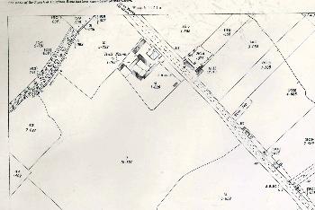
Hockliffe Maps
The maps below are Ordnance Survey 25 inches to the mile series, the first three editions. To see a larger version please click on the image.
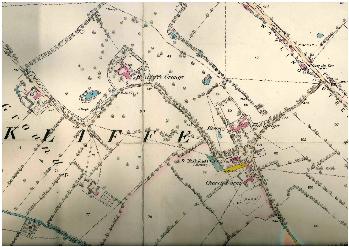
Church End in 1882
Church End in 1901
Church End in 1926
The northern part of the village in 1882
The northern part of the village in 1901
The northern part of the village in 1926
The centre of the village in 1882
The centre of the village in 1901
The centre of the village in 1926
The south of the village in 1882
The south of the village in 1901
The south of the village in 1926