Thurleigh Maps
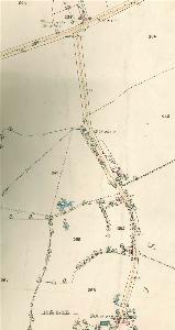
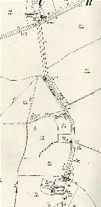
The two maps below are taken from the inclosure map for Thurleigh of 1808 [WG954 (MA47/3)]. To see a larger version please click on the image.
![The main village Church Scald and Cross Ends in 1808 [MA47]](/CommunityHistories/Thurleigh/ThurleighImages/The main village Church Scald and Cross Ends in 18_350x162.jpg)
The main village, Church, Scald and Cross Ends in 1808 [WG954 (MA47/3)]
![The south of the parish in 1808 [MA47]](/CommunityHistories/Thurleigh/ThurleighImages/The south of the parish in 1808 [MA47]_350x182.jpg)
The south of the parish in 1808 [WG954 (MA47/3)]
The maps below are Ordnance Survey 25 inches to the mile maps. To see a larger version please click on the image.
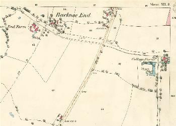
Backnoe End in 1884
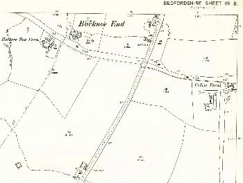
Backnoe End in 1901
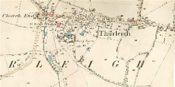
Church End and the village in 1884
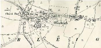
Church End and the village in 1901
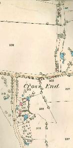
The western part of Cross End in 1884
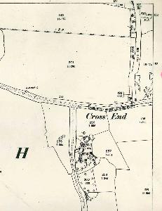
The western part of Cross End in 1901
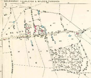
The eastern part of Cross End in 1884
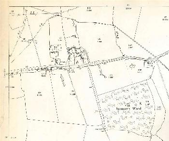
The eastern part of Cross End in 1901
Scald End in 1884
Scald End in 1901
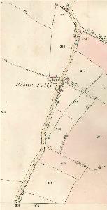
Robin's Folly in 1884
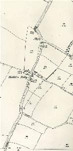
Robin's Folly in 1901