Old Warden Maps
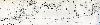
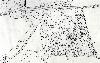
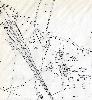
The following maps are only a selection of those held at Bedfordshire and Luton Archives and Records Service. To see a larger version of these 25 inches to the mile Ordnance Survey 2nd edition maps of 1901 please click on the appropriate thumbnail

Old Warden Village
Old Warden Park
Swiss Gardens
Warden Abbey