Eaton Bray Maps
The following maps are only a selection of those held at Bedfordshire and Luton Archives and Records Service. To see larger versions of the maps below please click on the relevant image.
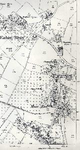
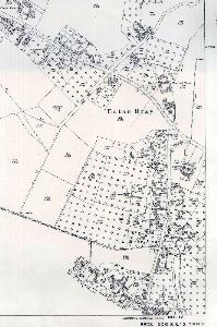
The map below is from 1849 and is part of a process called tithe apportionment. The major landowners had the size and quality of their holdings assessed to determine their share towards paying the vicar's stipend.
![Eaton Bray in 1849 [MAT13]](/CommunityHistories/EatonBray/EatonBrayImages/Eaton Bray in 1849 [MAT13]_205x300.jpg)
Eaton Bray in 1849 [MAT13]
The two images below are part of the map accompanied the Eaton Bray Inclosure Award of 1860.
![The north-west part of Eaton Bray in 1860 [MA92]](/CommunityHistories/EatonBray/EatonBrayImages/The north-west part of Eaton Bray in 1860 [MA92]_314x300.jpg)
The north-west part of Eaton Bray in 1860 [MA92]
![The south-east part of Eaton Bray in 1860 [MA92]](/CommunityHistories/EatonBray/EatonBrayImages/The south-east part of Eaton Bray in 1860 [MA92]_236x300.jpg)
The south-east part of Eaton Bray in 1860 [MA92]
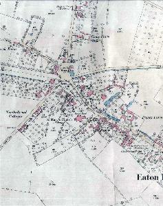
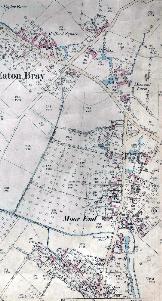
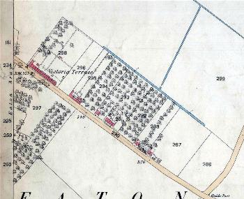
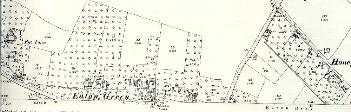
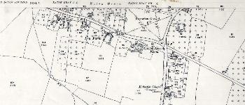
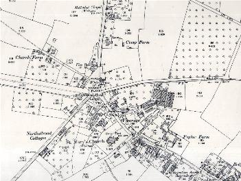
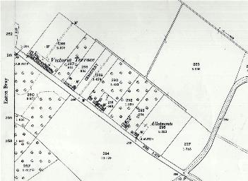
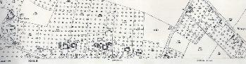
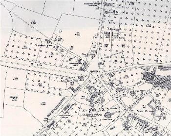
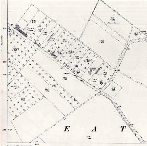
The maps below are sheets of Ordnance Survey 25 inches to the mile maps - the 1st edition of 1880, the 2nd edition of 1901 and the 3rd edition of 1926.
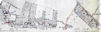
Honeywick and Eaton Green in 1880
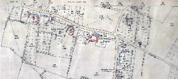
The northern part of the village in 1880
The north-west part of the village in 1880
Moor End and the south-eastern part of the village in 1880
The south-eastern part of Bower Lane in 1880
Honeywick and Eaton Green in 1901
The northern part of the village in 1901
The north-west part of the village in 1901
1901 Moor End and the south-eastern part of the village
The south-eastern part of Bower Lane in 1901
Honeywick and Eaton Green in 1926

The northern part of the village in 1926
The north-west part of the village in 1926
1926 Moor End and the south-eastern part of the village
The south-eastern part of Bower Lane in 1926