Tempsford Maps
The three images below are from the survey of Tempsford of 1829 [X1/41]. To see a larger version please click on the relevant image
![Mill Lane and Church End in 1820 [X1-41]](/CommunityHistories/Tempsford/Tempsford-Images/Mill-Lane-and-Church-End-in-1820-X1-41350x275.jpg)
Mill Lane and Church End in 1829 [X1/41]
![Tempsford Hall and the western part of Langford End in 1829 [X1-41]](/CommunityHistories/Tempsford/Tempsford-Images/Tempsford-Hall-and-the-western-part-of-Langford-End-in-1829-X1-41312x299.jpg)
Tempsford Hall and the western part of Langford End in 1829 [Z1/41]
![The eastern part of Langford End in 1829 [X1-41]](/CommunityHistories/Tempsford/Tempsford-Images/The-eastern-part-of-Langford-End-in-1829-X1-41312x299.jpg)
The eastern part of Langford End in 1829[X1/41]
The following images are from the second edition Ordnance Survey 25 inches to the mile map of 1901. To see a larger version please click on the relevant image.
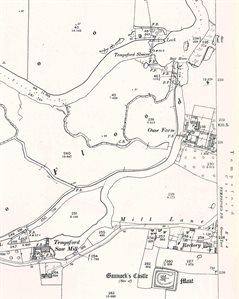
Mill Lane in 1901
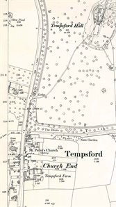
Church End and Tempsford Hall in 1901
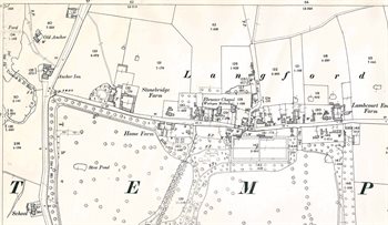
The western part of Langford End in 1901
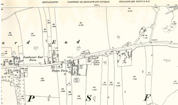
The eastern part of Langford End in 1901
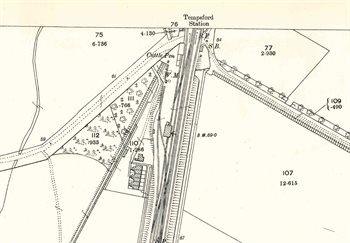
Tempsford Station in 1901