Wilshamstead Maps
The map below shows Wilshamstead at the time it was inclosed in 1809. To see a larger version, please click on the image.
![Wilshamstead inclosure map of 1809 [MA36]](/CommunityHistories/Wilstead/WilsteadImages/Wilshamstead inclosure map of 1809 [MA36]_349x269.jpg)
Wilshamstead inclosure map of 1809 [MA36]
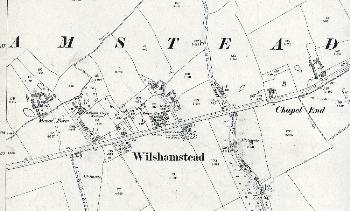
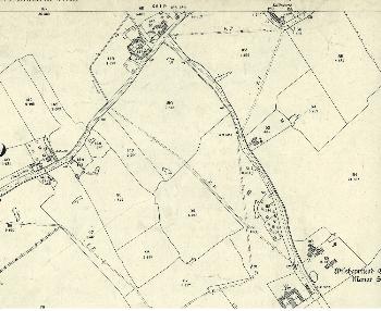
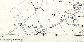
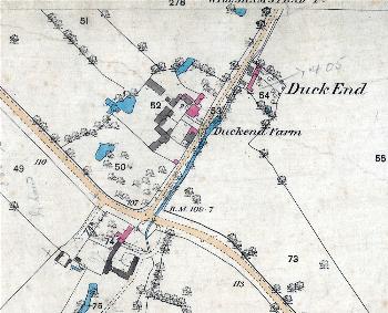
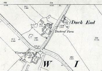
The maps below are taken from the Ordnance Survey 25 inches to the mile series. The first edition was issued around 1880, the second edition in 1901 and the third edition in the mid 1920s. Again, to see a larger version, please click on the image
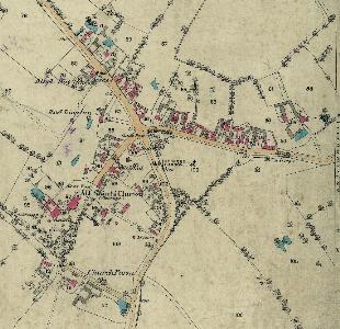
The western part of the village in 1883
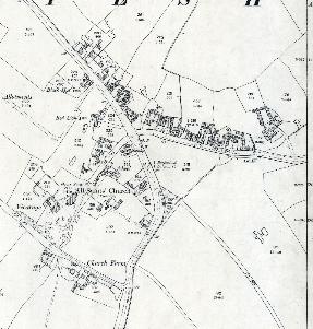
The western part of the village in 1901
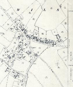
The western part of the village in 1926
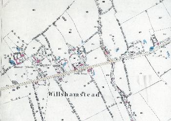
The western part of Cotton End Road in 1883
The western part of Cotton End Road in 1901
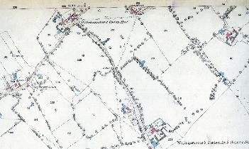
The eastern part of Cotton End Road in 1883
The eastern part of Cotton End Road in 1901
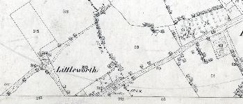
Littleworth in 1883
Littleworth in 1901
Duck End in 1883
Duck End in 1901
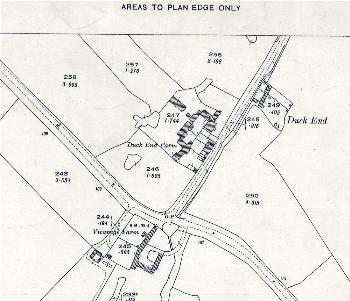
Duck End in 1926