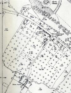
Totternhoe Ordnance Survey Maps of The 1920s
These maps are from the Ordnance Survey 25 inches to the mile 3rd series of 1924 to 1926. To see a larger image please click on the relevant map.
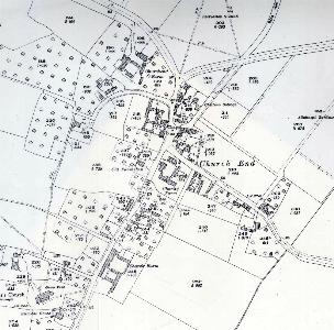
Church End in 1924
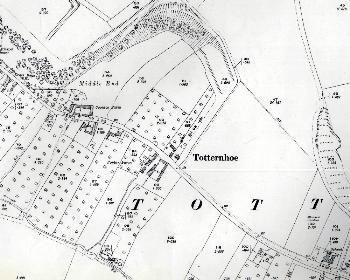
Middle End in 1924
The eastern part of Lower End in 1924
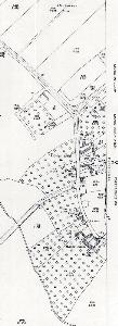
The western part of Lower End in 1926
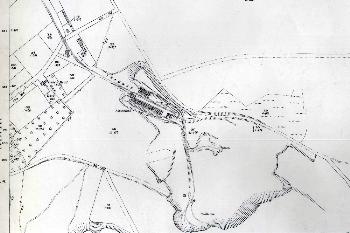 The top part of Knolls View kilns and the quarries 1924