The Parish of Clophill in General
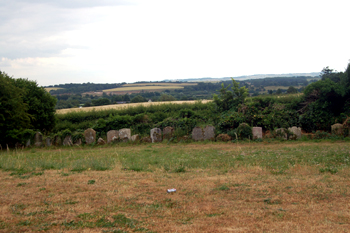
The view from Old Saint Mary's July 2010
Landscape
The village somewhat hides it light under a bushel in that the houses along the A6, whilst perfectly respectable, do not give any idea of the wealth, or number, of older buildings tucked away behind.
The solid, or underlying, geology is a type of sandstone known as Woburn Sands Formation. It was laid down in warm, shallow seas in the Cretaceous Period between 99 and 121 million years ago. Along the High Street and Shefford Road and the lower part of Great Lane runs a superficial geology of head, a mixture of sand, gravel, silt and clay. To the south is a band of alluvium - a riverine deposit of the same components.
The parish varies in height between 150 and 320 feet above sea level. The lowest lying ground is just east of Beadlow Manor close to the boundary with Campton and the highest is in the extreme north of the parish close to the border with Haynes. The old church stands at about 270 feet above sea level whereas the new church, at the bottom of the hill, is at about 190 feet.
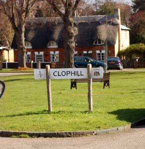
Clophill sign
Name
Clophill means "tree stump hill" and is first recorded in the Domesday Book of 1086 as Clopelle, the modern form is recorded as early as 1247. The following forms of the name have been recorded:
- Clophull: 1227-1428;
- Clophulle: 1227-1428;
- Clopphill: 1247-1361
- Claphull: 1287;
- Cloppehull: 1287;
- Clouphull: 1287;
- Clapwell: 1654;
- Claphill: 17th century;
- Clapwell: 17th century
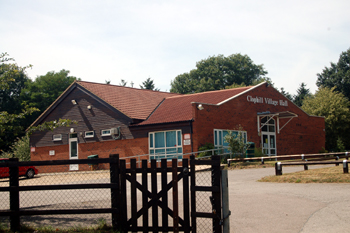
Clophill Village Hall July 2010
Administrative History
Clophill is an ancient parish in the Flitt Hundred. It is bordered by Haynes to the north, by Chicksands to the north-east, Campton to the east, Gravenhurst to the south-east, Silsoe to the south-west and Maulden to the west. The village lies in the west of the parish up against the A6 which is the boundary with Maulden.
![The MacFisheries van in Clophil on 12th October 1920 [Z50/31/37]](/CommunityHistories/Clophill/ClophillImages/The MacFisheries van in Clophil on 12th October 19.jpg)
The MacFisheries van in Clophil on 12th October 1920 [Z50/31/37]
Population
The Domesday Book records a population of eleven for Clophill, comprising five villagers, five smallholders and one slave. This, of course, refers just to heads of household and so the number must be multiplied by a figure of at least four to account for wives and children, suggesting a total population of around fifty, meaning it is quite a small settlement. By 1801 the figure had risen to 706, making it a sizable village by the standards of the time. The number grew steadily until the middle of the century when it reached a plateau before falling away to a lower plateau in the first fifty years of the 20th century from which point it has again risen, growing by 50% between 1961 and 1971 and then once more remaining relatively stable.
- 1801: 706;
- 1811: 721;
- 1821: 838;
- 1831: 972;
- 1841: 1,066;
- 1851: 1,186;
- 1861: 1,169;
- 1871: 1,220;
- 1881: 1,107;
- 1891: 1,068;
- 1901: 893;
- 1911: 916;
- 1921: 909;
- 1931: 847;
- 1951: 844;
- 1961: 1,056;
- 1971: 1,545;
- 1981: 1,672
- 1991: 1,648;
- 2001: 1,696;
- 2011: 1,738.