Shillington Maps
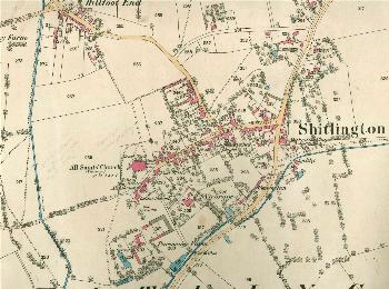
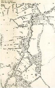
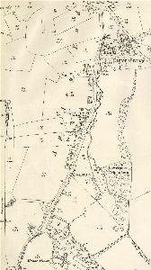
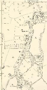
The map below is the 1817 inclosure map for Shillington [MA43]. To see a larger version please click on the image
![Shillington in 1817 [MA43]](/CommunityHistories/Shillington/ShillingtonImages/Shillington in 1817 [MA43]_260x300.jpg)
Shillington in 1817 [MA43]
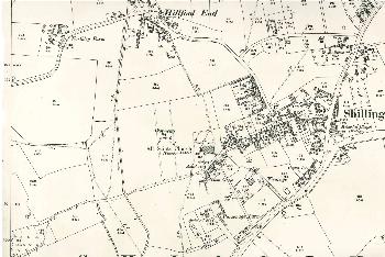
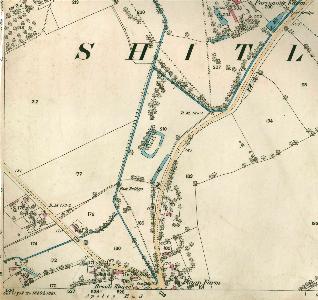
The maps below are from the Ordnance Survey 25 Inches to the Mile series first three editions. Again, to see a larger version please click on the respective image.
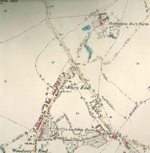
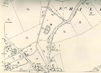
Bury End 1882
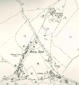
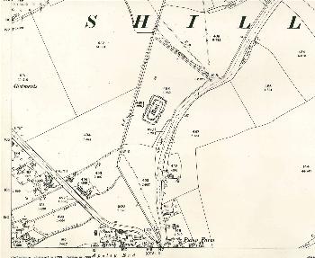
Bury End 1901
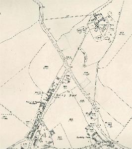
Bury End 1924
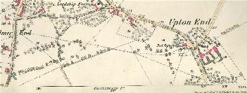
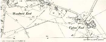
Woodmer End and Upton End 1882
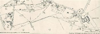
Woodmer End and Upton End 1901
Woodmer End and Upton End 1924
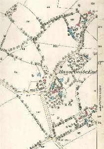
Hanscombe End 1882
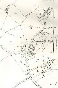
Hanscombe End 1901
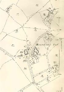
Hanscombe End 1924
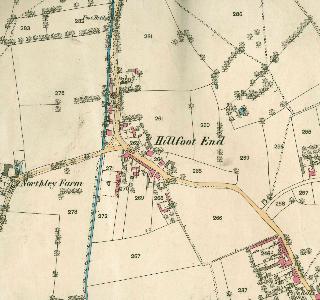
Hillfoot End 1882
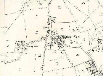
Hillfoot End 1901
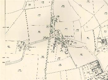
Hillfoot End 1924
Church End 1882
Church End 1901
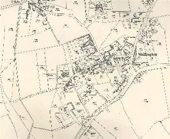
Church End 1924
Apsley End north 1882
Apsley End north 1901
Apsley End north 1924
Apsley End 1882
Apsley End 1901
Apsley End 1924