Keysoe Maps
The map below is the inclosure map for keysoe of 1806. To see a larger version please click on the image.
![Keysoe in 1806 [MA48]](/CommunityHistories/Keysoe/Keysoe-Images/Keysoe-in-1806-MA48279x299.jpg)
Keysoe in 1806 [MA48]
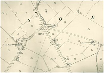
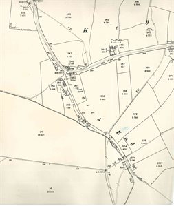
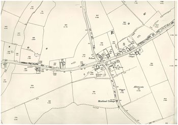
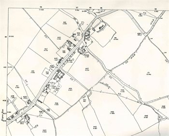
The maps below are 25 inches to the mile Ordnance Survey maps, second edition of 1901. Again, to see a larger version please click on the appropriate image.
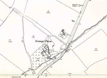
Grange Farm in 1901
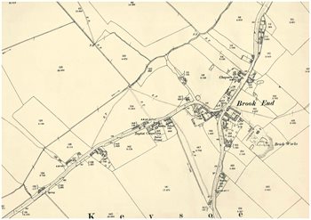
Brook End and Riseley Road in 1901
Mill Hill and Wybridge in 1901
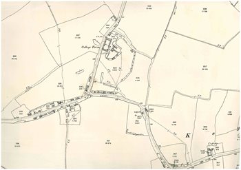
Keysoe Row West and College Farm in 1901
Hatch End in 1901
The centre of the village in 1901
The eastern end of Keysoe Row East in 1901