Shefford Maps
The following maps are only a selection of those held at Bedfordshire Archives. To see a larger version of the map, please click on the appropriate thumbnail.
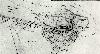
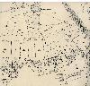
Campton and Shefford Inclosure Map 1799 [ref: MAT9]
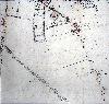
1st Edition Ordnance Survey 25 Inches to the Mile Map of 1883
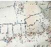
West Shefford and Shefford Hardwick
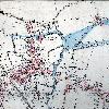
Central Shefford
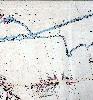
East Shefford
South Shefford
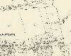
3rd Edition Ordnance Survey 25 Inches to the Mile Map of 1937
West Shefford and Shefford Hardwick

Central Shefford
East Shefford

South Shefford