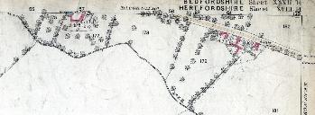
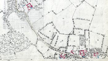
1880 Maps of Kensworth
These extracts showing parts of Kensworth are all taken from the Ordnance Survey 1st edition 25 inches to the mile map series of 1880. To see a larger version of each map please click on the appropriate image.
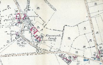
Lynch Hill and The Lynch in 1880
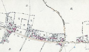
Western Lynch Hill and eastern Common Road in 1880
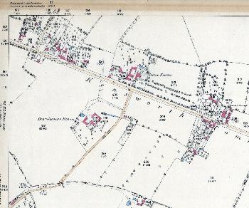
The central part of Common Road in 1880
The area around 199 to 215 Common Road in 1880
The western part of Common Road in 1880
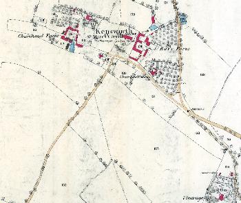
Church End in 1880
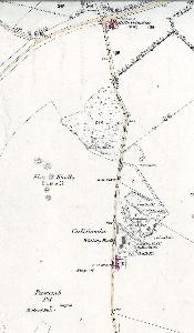
California in 1880