Steppingley Maps
The map below is the inclosure map for steppingley of 1836 [MA76]. To see a larger version please click on the image
![The village in 1836 [MA76]](/CommunityHistories/Steppingley/Steppingley-Images/The-village-in-1836-MA76350x301.jpg)
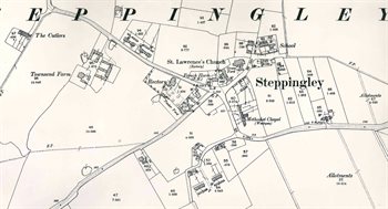
The map below is the 2nd edition 25 inches to the mile Ordnance Survey map of 1901. To see a larger version please click on the image.