The Parish of Milton Ernest in General
Landscape

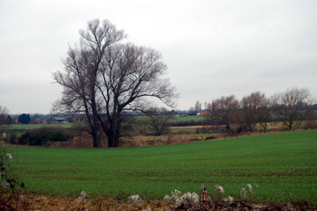
Looking towards the river between Milton Ernest Hall and The Old Mill February 2011
The east, north and south of the parish has a solid, or underlying, geology of Oxford Clay Formation, laid down between 154 and 164 million years ago in the shallow seas of the Jurassic Period. The western part of the village lies on a subsoil of a type known as Great Oolite Group, laid down between 164 and 169 million years ago. There is a thin band of cornbrash, laid down between 159 and 169 million years ago in the north and east of the village and a mixture of sandstone and mudstone called Kelleways Formation, laid down between 159 and 164 million years ago lying east and north of that.
The soil is a mixture of sand, gravel, clay and silt known as alluvium along the River Great Ouse and a clay soil in the village itself. In the north, south and east of the parish is a subsoil formed from a glacial era mixture of sand, gravel, clay and silt known as till.
The church stands at 176 feet above sea-level. The junction between New Road and Rushden Road (the A6) is slightly higher at 180 feet. The lowest lying area is bordering the River Great Ouse at around 122 feet above sea-level. The junction between Radwell Road and Rushden Road is 155 feet above sea-level and between Radwell Road and Riverside View 143 feet. Milton Ernest Hall is 138 feet above sea-level.
Name

Milton Ernest sign board February 2011
The name Milton means "Middle Farm". The Ernest element is taken from the Erneys family, tenants of the Manor of Milton Ernest or Harnesse in the Middle Ages. In the Domesday Book of 1086 the village is called Mildentone and Middeltone, the name Milton being first recorded in 1372.
Administrative History

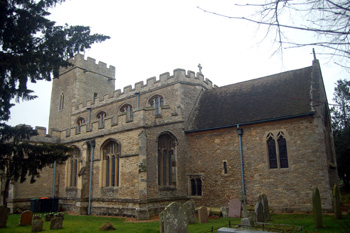
The church from the south-east February 2011
Milton Ernest is an ancient parish in the Stodden Hundred. It is surrounded by Bletsoe to the north, Thurleigh to the east, Clapham south-east, Oakley south, Pavenham to the south-west and Felmersham to the north-west.
Population

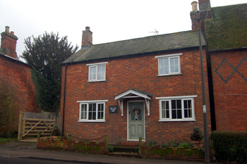
Yew Tree Cottage - 11 Radwell Road February 2011
The Domesday Book of 1086 records seventeen villagers, eight smallholders and three slaves – a total of twenty eight. This number represents the heads of household. To get an idea of the total population it is probably necessary to multiply this figure by a factor of at least four suggesting a total population of somewhere around one hundred and ten, a very large settlement in relation to the rest of the county where many parishes with much higher numbers of people today had perhaps fifty or so population in 1086.
A survey of 1788 gives a total of 63 families comprising 128 males and 155 females for a total of 283 [CRT130MiltonErnest13]. Successive censuses from 1801 give figures as follows:
- 1801: 300;
- 1811: 332;
- 1821: 364;
- 1831: 372;
- 1841: 446;
- 1851: 445;
- 1861: 485;
- 1871: 440;
- 1881: 421;
- 1891: 413;
- 1901: 367;
- 1911: 358;
- 1921: 340;
- 1931: 340;
- 1951: 380;
- 1961: 373;
- 1971: 409;
- 1981: 620;
- 1991: 608;
- 2001: 752;
- 2011: 761
These figures reflect the gradual depopulation of the countryside from the middle of the 19th century for about a hundred years until the new wave of house building in villages after the Second World War which continues at intervals today.