Milton Ernest Maps
The map below is the inclosure map for Milton Ernest [MA16/2]. It dates from 1803. To see a larger version please click on the image
![Milton Ernest in 1803 [MA16-2]](/CommunityHistories/MiltonErnest/MiltonErnestImages/Milton Ernest in 1803 [MA16-2]_351x240.jpg)
Milton Ernest in 1803
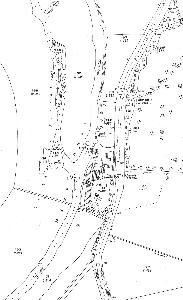
The maps below are Ordnance Survey 25 inches to the mile series. The first edition is 1883 or 1884, the second edition 1901 and the third edition (no tavailable for the main part of the village) is 1926. Again, to see a larger version please click on the image.
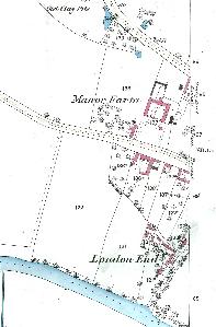
London End and Manor Farm 1884
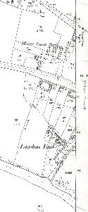
London End and Manor Farm 1901
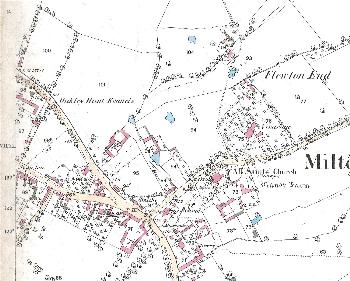
The main part of the village 1884
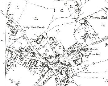
The main part of the village 1901
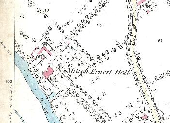
Milton Ernest Hall 1884
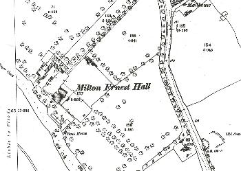
Milton Ernest Hall 1901
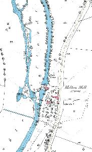
Milton Mill 1883
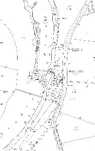
Milton Mill 1901
The Gables 1926