Eversholt Maps
The images below are taken from the Eversholt inclosure map of 1808 [MA74]. To see a larger version please click on the appropriate image
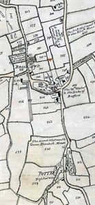
Brook End, Church End and Potters End 1808
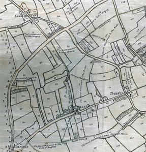
Froxfield, Hills End, Tyrells End and Lower Berry End 1808
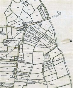
Higher and Lower Rads End 1808
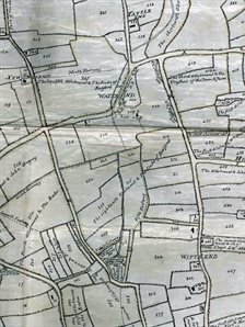
Tattle End, Water End, Witts End and New England 1808
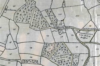
Wakes End and Ley Farm 1808
The images below are taken from 1st edition Ordnance Survey 25 inches to the mile maps of 1882. To see a larger version please click on the image
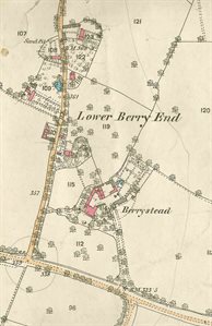
Berrystead and Lower Berry End 1882
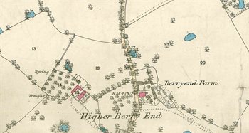
Higher Berry End 1882
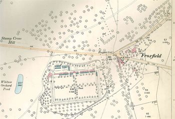
Froxfield 1882
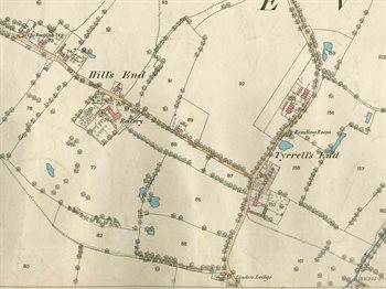
Hills End and Tyrells End 1882
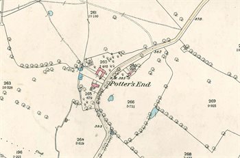
Potters End 1882
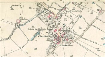
Church End and Brook End 1882
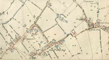
Witts End, Higher Rads End and Lower Rads End 1882
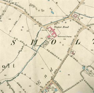
Water End 1882
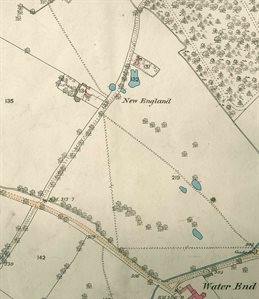
New England 1882
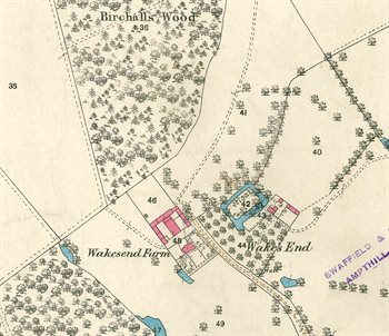
Wakes End 1882