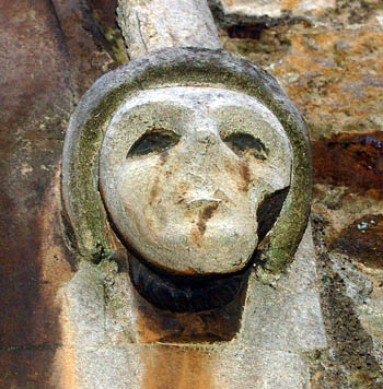
Head on the south side of the west door of Saint Botolph's church January 2008
Aspley Guise seems to have been inhabited from early times as Roman pottery was found when digging the foundations of a house on Aspley Hill in 1958. Aspley is first mentioned in a charter of 969 when King Edgar granted 15 hides in the parish to his thegn Alfwold (a relative of the King's by marriage). The text of the charter of 969 (which is not held by Bedfordshire & Luton Archives & Records Service) was translated thus in Bedfordshire Historical Records Society volume V (1919) by George Herbert Fowler:
[Latin] "In the name of our Lord Jesu Christ. Every generous gift of kings should be strengthened by the witness of writings, lest after-ages, from ignorance, fall unhappily into a distraught error. Wherefore I, Eadgar, by permission of divine grace King and Chief of all Albion, grant to my faithful servant called Alfwold by name known to the learned of this island, and to his heirs for ever, a certain piece of land, to wit [the land of] fifteen husbandmen in the place which by the vulgar is called Æpslea; so that he, while life be with him, may hold it as he wish wit hall that is useful - to wit, fields, pastures and woods - and after the term of his life may leave it freely to whatever heirs he will. But be it aforesaid that the land is free from all burthen of land service, three things excepted - to wit, warfaring, and the repair of bridge and castle [this did not mean there was necessarily either of these in the parish]. If therefore any one wish to change our gift to something else than we have settled, may he be cut off from the fellowship of Holy Church, and be wretchedly punished by the everlasting flames of the pit, along with Judas the betrayer of Christ and his accomplices, unless he shall have made good his fault against our decree by fitting amends. The land aforesaid is bounded by these marks from place to place".

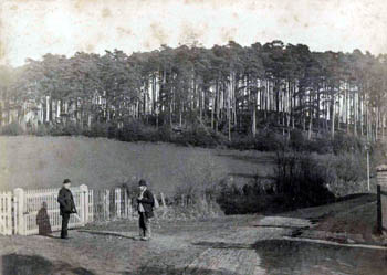
Wednesdon about 1900 - the boundary with Husborne Crawley ran, and runs, through here [Z669/7]
[early English] "There are the land boundaries to Æpslea. From Hysse Burn to Wendlesdun; eastward from Wendlesdun to Flitan Hyll; thence on to the white moor, and afterwards by a fen to the chief field, up to the little knoll; thence to the apple tree where three land boundaries meet, of the men of Woburn and of the men of Wafandun, and of the men of Æpslea. From the deer-gate over the heath to the combe, then round West Lea; from the lea to the chief field which is on the boundary of the men of Æpslea and of Wafandun; and along the old road to Dun's knoll; thence to the old ford, thence to the head of the fen; alongside the fen up to the hill, to the blackthorn, to the old pillar; from the pillar all round Fotes eige; from Fotes eige to the Blundan ford and along the stream. From the stream to Cranefeld dyke; from the dyke to the old charcoal pit where the three boundaries meet, of Cranefeld men, and of Mereston men, and of Holacot; from these three boundaries to the old maple tree; from the maple tree on to the long corner, always by the High Wood to the tall thorn tree; from the thorn tree again to the Hysse Burn, again to the eastward of Wendlesdun".

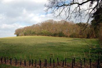
Wednesden in March 2007
[Latin] "In the year 969 from the incarnation of our Lord Jesu Christ the deed of this gift was written, with the consent of these witnesses whose names are marked below…" The charter seems to infer that Hulcote had been a hamlet of Aspley - it is simply referred to as having a boundary, but no "men" associated with it unlike Woburn, Cranfield and Wavendon. By 1086 Hulcote was a separate parish with its own Manor.