The Parish of Elstow in General
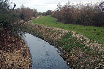
Elstow Brook looking north-east February 2012
Landscape
Volume III of The Victoria County History for Bedfordshire was published in 1912. At that time the parish of Elstow comprised 1,617 acres of which about two thirds were arable land and the rest grass. The principal crops were wheat and barley.
The land is low-lying, as one might expect in a river valley. The church is 111 feet above sea-level and the former school at 103 feet.
The underlying geology along Elstow Brook is Oxford Clay Formation, which was laid down between 154 and 164 million years ago in the warm, shallow seas of the Jurassic Period. The remainder of the parish is underlain by a mudstone known as Peterborough Member, laid down between 159 and 164 million years ago.
Along the Elstow Brook the superficial geology is alluvium, a fine mixture of clay, silt, sand and gravel. Further from the stream the soil is known as river terrace deposit, essentially sand and gravel.
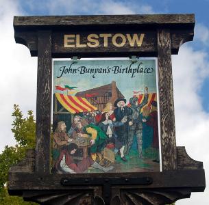
Elstow village sign September 2007
Name
The name Elstow seems to mean Ællen's place. The name has had many variations over the years, with the modern version only appearing in about 1475:
- Elnestou: 1086-1181;
- Elvestou: 1150-1181;
- Alnesto: 1177;
- Elnesto: 1177-1203;
- Alnestow: 1182-1287;
- Auuestowe: 1197-1247;
- Aunestow: 1202-1315;
- Elnestowe: 1232-1510;
- Aluestowe: 1239-1247;
- Eluestowe: 1247-1289;
- Elenestowe: 1258-1530;
- Helenstoe: 1270:
- Anestowe: 1276;
- Eylenestowe: 1287;
- Eleynestowe: 1415;
- Elynstowe: 1428;
- Elmestowe: 1518;
- Ellenstowe: 1518;
- Elvestowe: 1589;
- Elvestow: 1766.
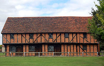
Elstow Moot Hall September 2007
Administrative History
Elstow is an ancient parish in the Redbornstoke Hundred. It was first recorded in the Domesday Book of 1086. The modern civil parish is bounded to the north by Bedford Borough, north-east by Eastcotts, south-east by Wilshamstead, south-west by Kempston Rural and north-west by Kempston.
The original village lies in the north of the parish and at the time of writing (2007) also includes the modern developments of Hillesden Avenue, Progress Way and Belfry Close. The equally modern developments along the relief road such as Melrose Avenue and Abbey Fields also lie in the parish. The site of John Bunyan's birthplace (demolished in the late 20th century) lies just inside the eastern border of the parish.
![The High Street in 1878 [Z100/1]](/CommunityHistories/Elstow/ElstowImages/Z100-1 High Street 1878.jpg)
The High Street in 1878 [Z100/1]
Population
There are enough physical remains to show that Elstow was once an attractive little place. Now it is increasingly swallowed up by modern developments such as the urban sprawl of Bedford to the north and the new Abbeyfields development in the parish to the south of the village.
Twenty nine people are recorded in the Domesday Book. To get a true idea of the population one needs to multiply this figure by at least four to account for all the dependents of these men - which gives a total of somewhere around 120 - a good sized village for the date. The modern population figures show that Elstow did not grow hugely in size until the great influx of people in the last years of the 20th and first years of the 21st century.
- 1801: 475;
- 1811: 501;
- 1821: 548;
- 1831: 561;
- 1841: 562;
- 1851: 581;
- 1861: 618;
- 1871: 605;
- 1881: 558;
- 1891: 478;
- 1901: 479;
- 1911: 499;
- 1921: 412;
- 1931: 513;
- 1951: 417;
- 1961: 629;
- 1971: 633;
- 1981: 673;
- 1991: 608;
- 2001: 2,124.