The Community of Linslade in General
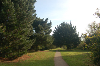
Tiddenfoot Waterside Park October 2008
Landscape
Before its amalgamation with Leighton Buzzard in 1965 the ancient parish of Linslade comprised 1,693 acres [685 hectares]. The modern civil parish of Leighton-Linslade contains 4,134 acres [1,673 acres].
Linslade forms the western half of the drainage basin feeding the southern end of the River Ouzel. The solid, or underlying, geology is a type of greensand known as Woburn Sands Formation, laid down in shallow, Cretaceous seas between 99 and 121 million years ago. However, there is an area of mudstone known as Gault Formation to the north and west of the town. This was laid down between 99 and 112 million years ago. Old Linslade all lies on greensand.
Most of the town's soil is, not surprisingly, sandy. Along the River Ousel the superficial geology is a mix of sand, gravel, clay and silt called alluvium. Southcott stands on a mixture of river terrace deposit of sand and gravel and areas of glacially deposited sand and gravel lie to the north and west. Old Linslade has areas of alluvium and of river terrace deposit.
Saint Barnabas stands at a height of 300 feet above sea-level and the station at 305 feet. The ground rises as one moves away from the river, which is about 280 feet. Bideford Green lies at roughly 370 feet and Linslade Wood gets up to around 425 feet. Old Saint Mary's is 280 feet above sea-level and the Globe about 275.
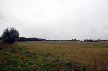
Linslade Road seen from Stoke Road October 2008
Name
The name Linslade is defined by the Oxford Dictionary of English Place Names as meaning "the passage by the hill". The name first appeared in the charter of 966 as Hlincgelad, being called Lincelada in the Domesday Book.
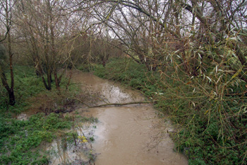
River Ouzel on the Heath and Reach-Linslade border November 2008
Administrative History
Linslade was an ancient parish in the Cottesloe Hundred in Buckinghamshire. In 1965 the civil parish was abolished as Linslade was moved into Bedfordshire and became part of the new civil parish of Leighton-Linslade. Linslade is, thus, now a sizable township rather than a parish in its own right. The ecclesiastical parish of Linslade was part of the Diocese of Oxford until moved into the Diocese of St.Albans in 2008.
Before 1965 the Bedfordshire-Buckinghamshire boundary and thus the boundary between Linslade and Heath and Reach and Linslade and Leighton Buzzard ran along the middle of the channel of the River Ouzel, except for a short distance south of Bridge Street in Leighton Buzzard where, at some date after the building of the Grand Union Canal, the boundary cut west to follow the canal bank down as far as the weir in the river, where it went back east once more to the river.
Linslade borders Leighton Buzzard to the east. It's other neighbouring parishes are Heath & Reach to the north-east and the Buckinghamshire parishes of Grove to the south, Wing to the south-west and Soulbury to the west and north-west.
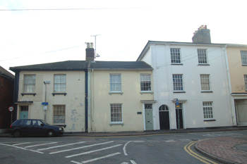
46 to 50 New Road June 2008
Population
Bedfordshire & Luton Archives & Records Service has no information on the populations of Linslade before it joined Leighton-Linslade in 1965 other than the census returns 1851 to 1901. Since 1965 the figures, established at census, for Leighton-Linslade have been:
- 1851: 1,309;
- 1861: 1,511;
- 1871: 1,656;
- 1881: 1,724;
- 1891: 1,982;
- 1901: 2,157;
- 1971: 20,347;
- 1981: 29,868;
- 1991: 31,889;
- 2001: 32,415
Leighton-Linslade is the fourth largest community in terms of population in the county, behind Luton (184,371) Bedford (77,885) and Dunstable (33,805).