Bromham Maps
The following maps are only a selection of those held at Bedfordshire and Luton Archives and Records Service. In order to see larger versions of the maps below please click on the appropriate image.
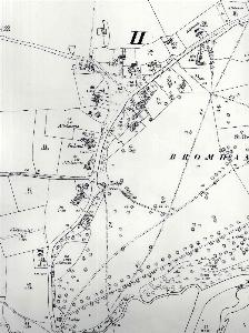
The two images directly below are taken from an estate map of Viscount Hampden of 1798 [X152].
![The eastern part of the village in 1798 [X152]](/CommunityHistories/Bromham/Bromhamimages/The eastern part of the village in 1798 [X152]_198x300.jpg)
The eastern part of the village in 1798 [X152]
![The western part of the village in 1798 [X152]](/CommunityHistories/Bromham/Bromhamimages/The western part of the village in 1798 [X152]_322x300.jpg)
The western part of the village in 1798 [X152]
The map below is a tithe apportionment map of 1844 [MAT8/1] where individual landowners are being ascribed tithes in money to pay to the vicar based on their land holdings.
![Bromham in 1844 [MAT8-1]](/CommunityHistories/Bromham/Bromhamimages/Bromham in 1844 [MAT8-1]_350x117.jpg)
Bromham in 1844 [MAT8/1]
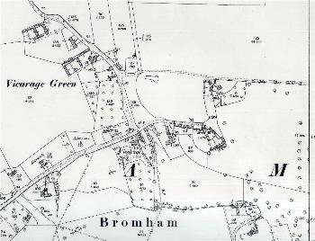
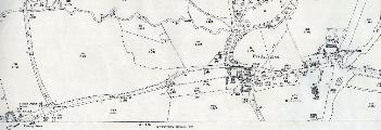
The three maps below are taken from the 1st edition Ordnance Survey 25 inches to the mile map of 1883.
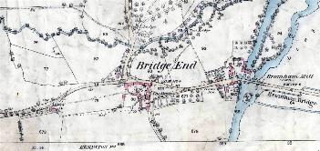
Bridge End in 1883
Village Road and The Green in 1883 - complete with ancient ink blot!
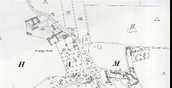
The area around Vicarage Green in 1883
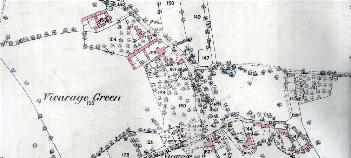
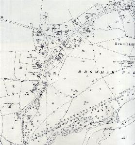
The three maps below are from the 2nd edition Ordnance Survey 25 inches to the mile map of 1901.
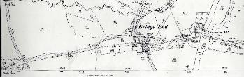
Bridge End in 1901
VIllage Road and The Green in 1901
The area around Vicarage Green in 1901
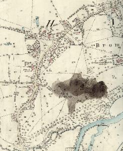
The three maps below are from the 3rd edition Ordnance Survey 25 inches to the mile map of 1926.
Bridge End in 1926
Village Road and The Green in 1926
The area around Vicarage Green in 1926
The map below is an Ordnance Survey 6 inches to the mile map annotated by the first County Archivist, Dr. George Herbert Fowler to show field names in Bromham [MC1/3/3/7]. In both cases the former parish boundary is shown in blue.
![Field names in the eastern part of the parish [MC1-3-3-7]](/CommunityHistories/Bromham/Bromhamimages/Field names in the eastern part of the parish [MC1_350x272.jpg)
Field names in the eastern part of the parish [MC1/3/3/7]
![Field names in the western part of the parish [MC1-3-3-7]](/CommunityHistories/Bromham/Bromhamimages/Field names in the western part of the parish [MC1_350x198.jpg)
Field names in the western part of the parish [MC1/3/3/7]