The Parish of Bletsoe in General

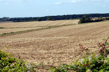
Countryside near Park Farm September 2009
Landscape
Volume III of The Victoria County History for Bedfordshire was published in 1912. At that date the parish of Bletsoe comprised 2,249.5 acres of which 1,208 were arable, 814.5 permanent grazing and 72.25 acres were woodland.
The parish has a complex geology. Along the A6 the solid, or underlying, geology is of a type called Blisworth Limestone Formation, limestone laid down between 164 and 169 million years ago in the Jurassic Period when the area was covered in shallow seas. A thin band of Cornbrash Formation runs parallel with this to the east and, further east, a thin band of Kellaways Clay Member, a mudstone formed between 159 and 164 million years ago. A band of Kelleways Sand Member lies further east, also formed between 159 and 164 million years ago and this includes most of the occupied part of The Avenue and also extends north and east, but Coplowe Lane lies on Oxford Clay, formed between 154 and 164 million years ago. Bourne End is also Blisworth Limestone Formation. The soil reflects the underlying geology, sand or clay. The crops in 1912 were wheat, barley and root crops.
Bletsoe church stands at 196 feet above sea level. the junction of The Avenue with the A6 is lower at 153 feet. The highest land, at Bourne End, rises to 290 feet above sea level.

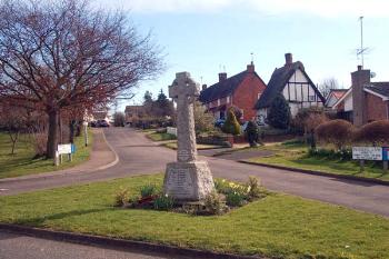
Bletsoe War Memorial 2007
Name
The name Bletsoe derives from 'Blaecci's hill-spur'. Blaecci was an Old English personal name, and hoh meant a bit of a hill that sticks out sideways from a larger hill, called a spur. The name has varied considerably over time, perhaps the most important change coming around 120 when the first element began to change from Blech- to Blet-:
- · Blechesho: 1086-1302;
- · Blecheshou: 1086-1302;
- · Blacheshou: 1086;
- · Blechisho: 1195;
- · Blechesho: 1199-1302;
- · Blecchesho: 1199-1302;
- · Blettesho: c. 1230-1280;
- · Blechenesho: 1247;
- · Blethesho: 1276-1303;
- · Blekenesho: 1276;
- · Blethenesho: 1276-1360;
- · Bletnesho: 1276-c. 1550;
- · Bletneshoo: 1276- c. 1550;
- · Blettisho: 1276;
- · Bletenysho: 1276;
- · Bletesho: 1287;
- · Bletthesho: 13th century;
- · Bletteneshoo: 1368;
- · Bletsho: 1376;
- · Bletneso: 1509-1510;
- · Bletesoo: 1526

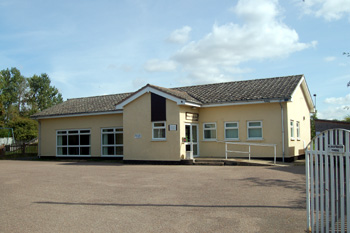
Bletsoe Village Hall September 2009
Administrative History
Bletsoe is an ancient parish and the boundaries have not changed in over a hundred years. It comprises 2,249½ acres and in 1910 1,208 acres of this was arable (the principal crops being wheat, barley and root vegetables) with 814½ acres of grassland and 72¼ acres of woods and plantations. Bletsoe is bounded by Riseley in the north, Thurleigh in the east, Milton Ernest in the south and both Sharnbrook and Felmersham in the west.

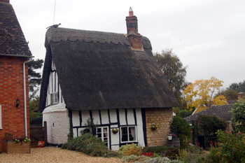
9 Memorial Lane October 2009
Population
The Population at Domesday was probably a little over a hundred people, making it quite a significant settlement at that date. More modern population figures rose in the first half of the 19th century then began to fall back as more local people drifted to towns like Bedford and Rushden to find work; then decreased severely in the early part of the 20th century as mechanisation of farm work took more people from the land and forced them to look for employment elsewhere. In the latter part of the century figures rose again but to nowhere near the levels of 1831-1861. The figures in full are given below:
- 1801: 321;
- 1811: 312;
- 1821: 383;
- 1831: 410;
- 1841: 420;
- 1851: 407;
- 1861: 412;
- 1871: 392;
- 1881: 341;
- 1891: 337;
- 1901: 286;
- 1911: 312;
- 1921: 249;
- 1931: 219;
- 1951: 265;
- 1961: 235;
- 1971: 252;
- 1981: 144;
- 1991: 236;
- 2001: 283;
- 2011: 260.