Bletsoe Maps
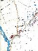
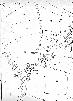
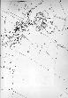
The following maps are only a selection of those held at Bedfordshire and Luton Archives and Records Service. These maps are 25 inches to the mile Ordnance Survey maps of the 1st edition (1884) and 2nd edition (1901). To see a larger image please click on the appropriate thumbnail.
1884
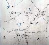
Whitwick Green
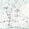
North End

Bourne End

The area west and north of Bletsoe Park
The area east and north of the Falcon
 The main part of the village
1901
The area north and east of the Falcon in 1901
The main part of the village in 1901
Field Names
The following two maps are Ordnance Survey 2nd edition six inches to the mile maps of 1902 annotated by George Herbert Fowler, County Archivist 1913-1940 with field names taken from the Tithe Apportionment Map of 1839 [MAT6]. The parish boundaries are marked in pink.
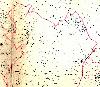
Field names map - north
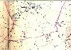 Field names map - south