The Parish of Bromham in General
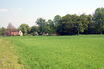
Bromham Park May 2012
Landscape
The eastern part of the boundary of the parish of Bromham is formed by a huge loop of the River Great Ouse. The solid of underlying geology of Bromham is complex. Along the river it comprises a limestone interbedded with rocks with a high clay content known as Great Oolite Group, laid down between 164 and 169 million years ago in the warm, shallow seas of the Jurassic Period. This underlying geology also occurs at Stagsden Road and much of Northampton Road. Bromham Park is largely on cornbrash, a limestone laid down between 159 and 169 million years ago, though there are areas where sandstone is mixed with mudstone in a deposit known as Kelleways Formation, laid down between 159 and 164 million years ago. There is a small area of cornbrash underlying Dynevor Close and Southview with a smaller area of Kelleways Formation within it. The southern area of Village Road and all Rosemary Drive lies on oolite. Cornbrash then extends to a point just south of Hill Cottage where it gives way to Kelleways Formation which underlies the rest of Village Road and Oakley Road as well as Grange Lane and Molivers Lane. The area around Bromham House also lies on Kelleways Formation. The soil generally reflects the solid geology beneath except that along the river is an alluvial mixture of sand, clay, gravel and silt.
Being in a river valley Bromham is relatively low lying. The church, for example, stands at about 145 feet above sea-level. Bromham House stands about 188 feet and the scout hut on Molivers Lane at 200 feet.
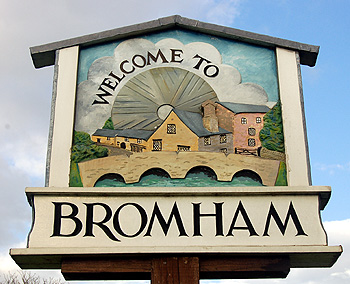
Bromham sign March 2012
Name
The name probably means Bruna's homestead. It was first recorded in its modern form in 1227. The name has had the following variations over the years:
- Bruneham: 1086;
- Brimeham: 1086;
- Bruhan: 1164-1302;
- Braham: 1227;
- Bramham: 1228;
- Brumham: 1262-1576;
- Brunham: 1276-1291;
- Brumbham: 1276;
- Brynham: 1276;
- Broham: 1278;
- Bronham: 1338;
- Broam: 1360;
- Brounham: 1361;
- Burnham: 1361.
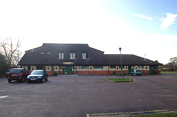
Bromham Village Hall March 2012
Administrative History
Bromham is an ancient parish, first recorded in the Domesday Book of 1086. It lay in the Willey Hundred. Volume III of The Victoria County History for Bedfordshire was published in 1912. At that date Bromham comprised 1,827 acres of which 664 acres, 1 rood were arable and 921 acres, 1 rood permanent grass.
Some of the parish area was lost in 1934 to Bedford Borough, but the parish was augmented in 1948 when parts of Stagsden and Kempston Rural were absorbed into Bromham which, although a contiguous village had previously had some houses in the village in those other two parishes. Neighbouring places are Stevington (north-west), Oakley (north), Clapham (north-east), Bedford (east), Biddenham (south-east), Kempston Rural (south) and Stagsden (south-west).
![The Green about 1900 [Z50/21/14]](/CommunityHistories/Bromham/Bromhamimages/Z50-21-14 The Green about 1900_351x197.jpg)
The Green about 1900 [Z50/21/14]
Population
The Domesday Book of 1086 records thirty four people in Bromham. These would have been just the heads of household so the figure should probably be multiplied by a factor of at least four to include dependants, suggesting a population of somewhere over a hundred and thirty, a very good sized settlement for the time.
The population of Bromham today is out of all proportion to its historical size. The largest jump in population was in 1951 when numbers rose 276% from the previous census in 1931 (there being none in 1941 due to World War Two).
In recent years Bromham has seen huge growth with the building of large housing estates in the south and, to a lesser extent, north and west of the parish. Another development has taken place on the site of the former Bromham Colony (a residential home for people with mental handicap which closed at the turn of the 20th and 21st centuries). The large amount of land almost encircled by the river in the east of the parish remains, as yet, undeveloped.
1801: 297;
1811: 280;
1821: 298;
1831: 324;
1841: 314;
1851: 343;
1861: 361;
1871: 373;
1881: 327;
1891: 319;
1901: 321;
1911: 350;
1921: 328;
1931: 442;
1951: 1,220;
1961: 2,722;
1971: 3,746;
1981: 3,941;
1991: 3,825;
2001: 4,765.