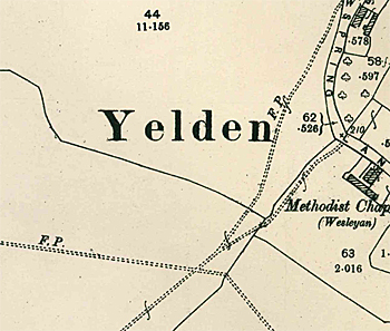
The Parish of Yelden in General

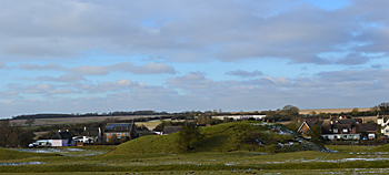
The castle and village from the south February 2014
Landscape
Yelden church stands around 232 feet above sea-level, the castle being lower at about 221 feet. Bottom Farm, as the name suggests, is one of the lower parts of the village at around 213 feet.
The solid, or underlying geology of Yelden is of a type known as Oxford Clay Formation. This mudstone was laid down between 154 and 164 million years ago in the warm, shallow seas of the Jurassic Period. Parts of the village have a superficial geology (overlying the solid geology) comprising alluvium, a mix of clay, silt, sand and gravel laid down by rivers. In the southern part of the village is a patch of soil known as glaciofluvial deposit, sand and gravel laid down by glaciers. The north-west and south-east parts of the parish comprise a superficial geology called Oadby Member, a diamicton which, again, was laid down in the Ice Ages.

Name
It is conjectured that the river running through Yelden used to be called the Ivel, thus the name means Ivel valley. Today the river is known as the Til. Even today the alternative speling of Yielden is sometimes used. The name of the parish has had a few variations over the years, as follows:
- Giveldene: 1086-1273;
- Giveldon: 1220-1246;
- Gyueldon: 1220-1247;
- Gieuleden: 1227;
- Chivelden: 1242;
- Gyuelden: 1247-1346;
- Gyueldene: 1247-1346;;
- Yueldene: 1315;
- Yevelden: 1316-1660;
- Yeveldene: 1316-1660;
- Yelden: 1392 to date;
- Yealdon: c. 1600;
- Evelden: 1603;
- Yeavelden: 1660;
- Yelding: 1675;
- Yeilden: 1765.

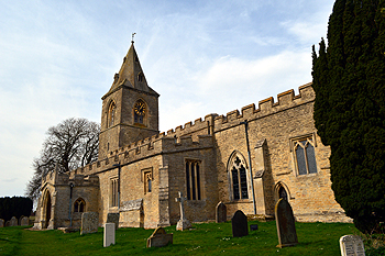
The church from the south-east March 2014
Administrative History
Yelden is an ancient parish in the Stodden Hundred. The civil parish was abolished in 1934 and merged with Melchbourne to create the civil parish of Melchbourne and Yelden. The ecclesiastical parish continues though the church is held in plurality with Dean, Melchbourne, Pertenhall, Shelton and Swineshead as The Stodden Churches. In 1965 the boundary between Bedfordshire and Northamptonshire north-west of the village was straightened up but this did not affect any residences [CDP75].
Yelden is surrounded by Shelton to the north, Dean to the north-east, Melchbourne to the east, Knotting to the south and the Northamptonshire parishes of Newton Bromswold to the south-west, Chelveston to the west and Stanwick to the north-west.

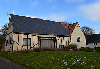
Chicheley Cottage February 2014
Population
In 1086 Yelden, like Melchbourne, was held by the Bishop of Coutances; his tenant was Geoffrey de Trelly or Trailly. Yelden, again like Melchbourne, comprised ten hides. It had woodland for twenty pigs. The manor contained 17 villagers, 1 man-at-arms, 12 smallholders and 1 slave – 31 people. These people were just the heads of households and, to arrive at a truer figure for population one probably needs to multiply this figure by a factor of at least four, suggesting a population of around 125, a decent sized settlement for the time. The census returns from 1801 to 1831 show the following populations:
- 1801: 209;
- 1811: 237;
- 1821: 279;
- 1831: 276;
- 1841: 320;
- 1851: 328;
- 1861: 286;
- 1871: 285;
- 1881: 243;
- 1891: 220;
- 1901: 197;
- 1911; 177;
- 1921: 160;
- 1931: 150.
In 1934 Melchbourne was joined with Yelden into one civil parish and the remaining census figures relate to the two settlements:
- 1951: 292;
- 1961: 342;
- 1971: 251;
- 1981: 249;
- 1991: 294;
- 2001: 390;
- 2011: 392.