The Community of Souldrop in General

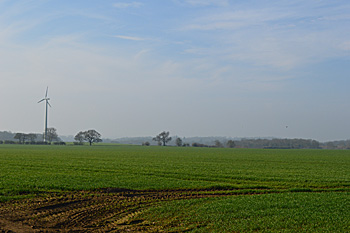
Looking south from the village April 2015
Landscape
The solid, or underlying, geology of Souldrop varies considerably. In the northern part of the village it is Oxford Clay Formation, a mudstone laid down in the shallow seas of the Cretaceous Period between 84 and 94 million years ago. The south of the village stands on Kellaways Sand Member, a sandstone and siltstone laid down between 159 and 164 million years ago in the warm, shallow seas of the Jurassic Period.
Further south is an area of Kelleways Clay member, a mudstone laid down at the same time as Kelleways Sand Member. South of this is an area of Cornbrash Formation, a limestone laid down between 59 and 169 million years ago.
Though the solid geology thus varies significantly, the superficial geology is all of a type called Oadby Member. This is a diamicton laid down up to two million years ago during Ice Ages. Souldrop church lies 318 feet above sea-level, whilst the Bedford Arms is at 327 feet.

Name
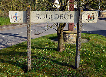
The Place Names of Bedfordshire and Huntingdonshire by A Mawer and F M Stenton, published in 1926, states that the name Souldrop is problematic. It might mean Sulan’s village (the initial element being the same as in the Buckinghamshire parish of Soulbury) but this seems unlikely given the early form of the name. The Ole English word sulh means a plough or the furrow made by one. Thus the name is likely to mean furrow village or well-marked valley village.
The name has appeared in a number of forms over the years, as follows:
- Sultrop: 1196 to 1227;
- Sultorp: 1198;
- Suldrop: 1202 to 1526;
- Suldrope: 1202 to 1526;
- Sulthorp: 1247;
- Soldrop: 1247-1302;
- Soldrope: 1247-1302;
- Shuldrop: 1247-1276;
- Schuldrop: 1247-1276;
- Sholdrope: 1276;
- Sulthrope: 1276-1291;
- Schulthorp: 1276;
- Souldrop: 1535

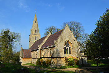
The church from the south-east April 2015
Administrative History
Souldrop is an ancient parish in the Willey Hundred. In 1735 the ecclesiastical parish was united with Knotting and the two civil parishes were united almost exactly two hundred years later in 1934. The ancient parish was surrounded by Knotting to the north-east, Bletsoe to the east, Sharnbrook to the south, the extra-parochial place of Colworth to the south (now part of Sharnbrook), Odell to the south-west, Podington to the north-west and Wymington to the north.

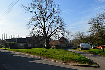
The Green April 2015
Population
The figures for censuses from 1801 are as below. From 1951 the figures also include Knotting.
- 1801: 188;
- 1811: 212;
- 1821: 223;
- 1831: 242;
- 1841: 332;
- 1851: 267;
- 1861: 276;
- 1871: 254;
- 1881: 238;
- 1891: 221;
- 1901: 171;
- 1911: 176;
- 1921: 162;
- 1931: 161;
- 1951: 281;
- 1961: 258;
- 1971: 261;
- 1981: 261;
- 1991: 246;
- 2001: 269;
- 2011: 238.