Ridgmont Maps
The following maps are only a selection of those held at Bedfordshire and Luton Archives and Records Service. To see a larger view of each map please click on the relevant thumbnail.
![Segenhoe on the inclosure map of 1799 [MA15]](/CommunityHistories/Ridgmont/RidgmontImages/Segenhoe on the inclosure map of 1799 [MA15]_350x294.jpg)
Segenhoe on the inclosure map of 1799 [MA15]
![The village on the inclosure map of 1799 [MA15]](/CommunityHistories/Ridgmont/RidgmontImages/The village on the inclosure map of 1799 [MA15]_302x300.jpg)
The village on the inclosure map of 1799 [MA15]
The two maps above show parts of the parish on the inclosure map of 1799 [MA15].
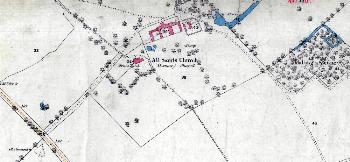
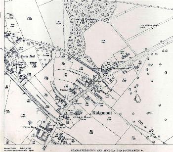
Segenhoe in 1883
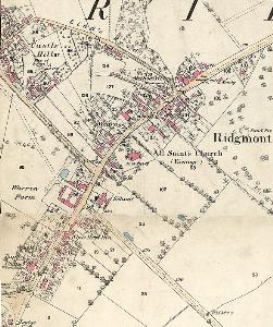
The main part of the village in 1883
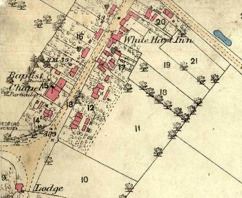
The southern part of the village in 1883
The three maps above show parts of the parish on the Ordnance Survey 25 inches to the mile 1st edition map of 1883.
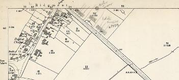
The south end of the village in 1901 with later annotations
The map above shows the southern part of the village on the Ordnance Survey 25 inches to the mile 2nd edition map of 1901.
The main part of the village in 1925
The map above shows the village on the Ordnance Survey 25 inches to the mile 3rd edition map of 1925