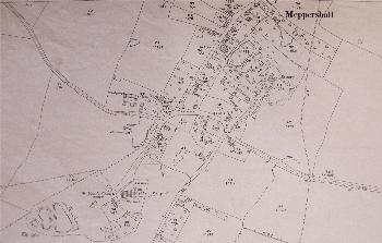
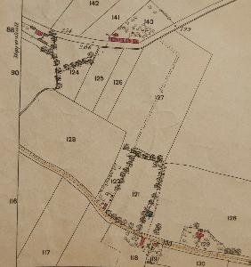
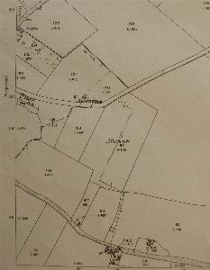
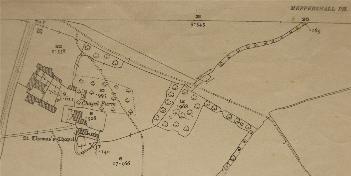
Meppershall Maps
The maps below are from the Ordnance Survey 25 inches to the mile series. To see a larger version please click on the image.
The north of the village in 1883
The north of the village in 1901
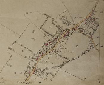
The centre of the village in 1882
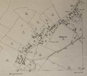
The centre of the village in 1901
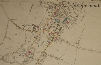
The centre of the village in 1924
The east of the village in 1883
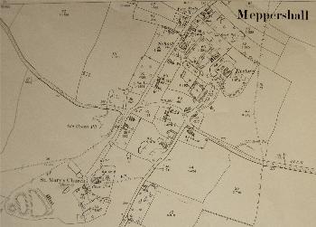
The east of the village in 1901
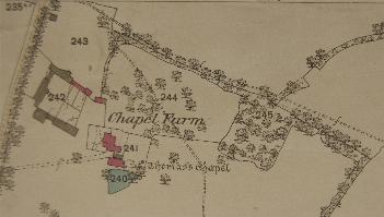
Chapel Farm in 1882
Chapel Farm in 1901