Eggington Maps
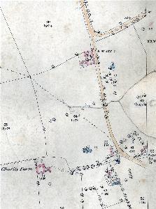
The map below is the inclosure map for Eggington of 1840. To see a larger version please click on the image
![Eggington in 1840 [MA61]](/CommunityHistories/Eggington/EggingtonImages/Eggington in 1840 [MA61]_351x279.jpg)
Eggington in 1840 [MA61]
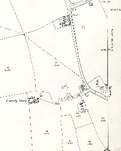
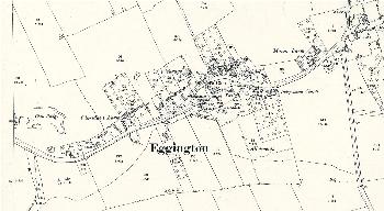
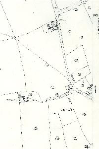
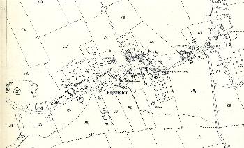
The maps below show parts of Eggington on the 1st, 2nd and 3rd edition Ordnance Survey 25 inches to the mile maps for the area. To see a larger version please click on the image
The western part of Eggington in 1879
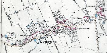
The eastern part of Eggington in 1882
The western part of Eggington in 1901
The eastern part of Eggington in 1901
The western part of Eggington in 1926
The eastern part of Eggington in 1926