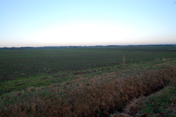
The site of Roman occupation at Mill End December 2009
The Bedfordshire Historic Environment Record [HER] records a number of finds and features which show that parts of the parish of Colmworth were settled during the period of Roman occupation [43 to 410 A. D.]. A feature east of Mill End [HER 9831] was uncovered during pipeline construction in 1976 indicating a settlement site. A U-shaped ditch was noted 90 metres north of the road and contained Romano-British pottery.
A Roman coin and sherds of Roman pottery were reportedly found to the south of Colmworth [HER469]. However, excavation in 1940 did not produce any further evidence. Air photographs taken in 1996 showed evidence for a block of rectilinear enclosures with a separate curvilinear enclosure to the east; previous air photographs had no cropmarks visible. The site is east of Church Road and north of Mill Road.
Roman coins were found at Horseshoes Farm [HER 15973] where prehistoric cropmarks are also present. The coins were: a sestertius of Antoninus Pius [AD138-161]; an illegible late bronze coin of a 3rd to 4th century date; four late 3rd century radiates and another possible radiate. A piece of a Roman beaker base was also collected within the same area.
The Viatores, a group dedicated to discovering Roman roads in Britain has suggested a road from Dorchester-on-Thames [Oxfordshire] to Alconbury [Huntingdonshire] passed through Bedfordshire from south-west to north-east, passing through Woburn, Aspley Guise, Aspley Heath, Husborne Crawley, Ridgmont, Marston Moretaine, Wootton, Kempston Rural, Kempston, Biddenham, Bedford, Ravensden, Wilden, Bolnhurst, Colmworth and Staploe. In the parish of Ravensden visible metalling suggests the Roman road was on the same line as the modern road for some distance towards Colmworth. The road is thought to pass just to the east of Bushmead Priory.
The suggested road links monastic houses at Woburn, Cauldwell, Newnham and Bushmead, which has led to the supposition that it may have remained in use until the Dissolution.
Another Roman road has been identified in Colmworth [HER 5163]. It is suggested that an agger runs north of The City. Agger is a word for an embankment or rampart, from the Latin aggerare meaning to heap up. Such embankments are commonly connected with Roman roads which ran along them, with the camber at either side allowing water to run off into a ditch on either side.