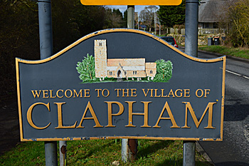
The Parish of Clapham in General
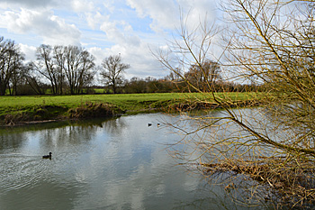 The River Great Ouse behind Clapham High Street March 2017
Landscape
Clapham stands on a solid, or underlying, geology of differing types, both sandstone and limestone. Along the river and under the southern part of the village is a limestone known as Great Oolite Group, the limestone layers being interbedded with argillaceous rocks and all laid down in the warm, shallow seas of the Jurassic Period between 164 and 169 million years ago. The northern part of the village stands on a sandstone, siltstone and mudstone called Kellaways Formation. This is earlier in the Jurassic, being formed between 159 and 164 million years ago. Clapham Green, Woodlands Park and Twinwoods all stand on Oxford Clay Formation, a mudstone deposited between 154 and 164 million years ago. To add to the complex nature of the geology, parts of Woodlands Park stand on Cornbrash Formation, a limestone laid down between 159 and 169 million years ago.
The superficial geology also varies. Along the river, as may be expected, it is alluvium, a mixture of clay, silt, sand and gravel washed down from upstream. Further back from the river are river terrace deposits of sand and gravel. Much of the rest of the soil is called till - a diamicton formed during the Ice Ages of the last two million years.
Lying , as it does, near the river, Clapham is generally low-lying. The church is 129 feet above sea-level and the Fox and Hounds at 119 feet. The river itself averages 107 feet. The land rises to the north with Clapham Park at 173 feet above sea-level and Twinwoods at 285 feet.
Name
The Place Names of Bedfordshire and Huntingdonshire by A Mawer and Frank M Stenton was published in 1926 but is still the most scholarly study of the county’s place names and their origins. Clapham is not an easy name to interpret. The most likely explanation seems to be that the first element is a word in old English which has been lost but was similar in meaning to the Middle Danish word “klop” meaning a stub or stump. The second element means a homestead, so “homestead of the stumps”. The name has changed over the years:
- Cloppham: 809-1582;
- Clopeham: 1086;
- Clopham: 1163-1535;
- Clapham: 1247-1579;
- Clappam: 1542-1545;
- Clappame: 1542-1545;
- Clappham: 1582;
- Clopham: 17th century.
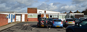
Clapham Village Hall March 2017
Administrative History
Clapham was a chapelry in the ancient parish of Oakley, becoming a separate parish in 1545 in the Stodden Hundred. Part of the parish was transferred to Bedford in 1934 with further boundary changes in 1948 and 1968. Clapham is bounded by: Thurleigh to the north; Ravensden to the east (formerly also by Goldington); Bedford to the south-east; Bromham to the south-west; Oakley to the west and Milton Ernest to the north-west.
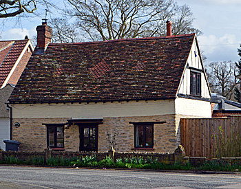
Woodlands Cottage March 2017
Population
The Domesday Book of 1086 records a population of eighteen villagers, fifteen smallholders and four slaves - a total of thirty seven. This number represents the heads of household. To get an idea of the total population it is probably necessary to multiply this figure by a factor of at least four suggesting a total population to somewhere around one hundred and fifty, making Clapham a large settlement for the time. Censuses have been carried out in Britain every ten years from 1801, with the exception of 1941 when the Second World War made it unrealistic. Figures for Clapham are as follows:
- 1801: 157;
- 1811: 177;
- 1821: 204;
- 1831: 298;
- 1841: 370;
- 1851: 445;
- 1861: 502;
- 1871: 607;
- 1881: 608;
- 1891: 725;
- 1901: 788
- 1911: 748;
- 1921: 704;
- 1931: 840;
- 1951: 2,203;
- 1961: 3,284;
- 1971: 3,709;
- 1981: 3,817;
- 1991: 3,411;
- 2001: 3,647;
- 2011: 4,560.