Clapham Maps
The two maps below are from the tithe apportionment award for Clapham of 1839 [ref: MAT10/1]. To see a larger version please click on the relevant image
![Clapham in 1839 [MAT10-1]](/CommunityHistories/Clapham/Clapham-Images/Clapham-in-1839-MAT10-1350x208.jpg)
Clapham in 1839 [ref: MAT10/1]
![Northern part of Clapham in 1839 [MAT10-1]](/CommunityHistories/Clapham/Clapham-Images/Northern-part-of-Clapham-in-1839-MAT10-1350x298.jpg)
The northern part of Clapham in 1839 [ref: MAT10/1]
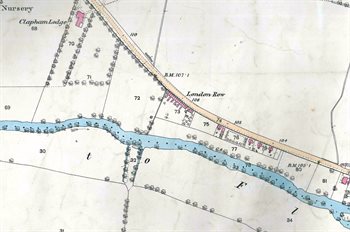
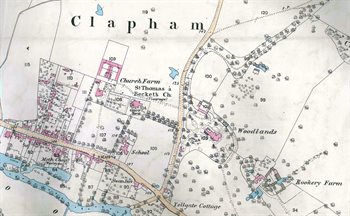
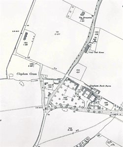
The images below are from the Ordnance Survey 25 inches to the mile series. The first edition for Clapham is dated 1883, the second edition 1901 and the third edition dates from 1926. To see a larger version please click on the relevant image
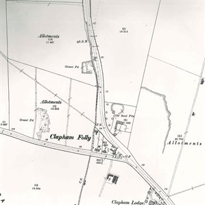
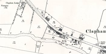
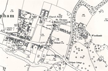
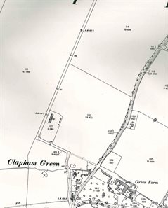
1883
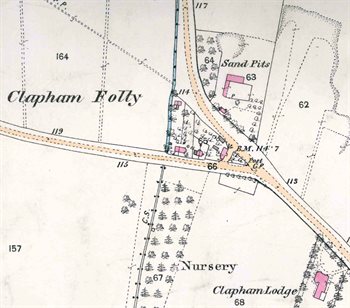
Clapham Folly in 1883
The western part of the village in 1883
The eastern part of the village in 1883
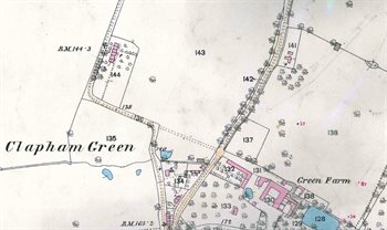
Clapham Green in 1883
1901
Clapham Folly in 1901
The western part of the village in 1901
The eastern part of the village in 1901
Clapham Green in 1901
1926
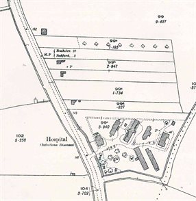
The area around the hospital in 1926
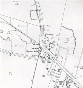
Clapham Folly in 1926
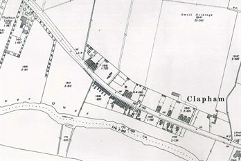
The western part of the village in 1926
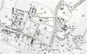
The eastern part of the village in 1926
Clapham Green in 1926