Bolnhurst Maps
The two maps below are part of the inclosure map for Bolnhurst dating from 1778. To see a larger version please click on the relevant image.
![Bolnhurst north 1778 [BS905]](/CommunityHistories/Bolnhurst/BolnhurstImages/Bolnhurst-north-1778-BS905212x299.jpg)
Bolnhurst north in 1778 [BS905]
![Bolnhurst south 1778 [BS905]](/CommunityHistories/Bolnhurst/BolnhurstImages/Bolnhurst-south-1778-BS905212x299.jpg)
Bolnhurst south in 1778 [BS905]
The maps below are from the first edition Ordnance Survey 25 inches to the mile maps of 1884 and the second edition maps of 1901. Again, to see a larger version please click on the relevant image.
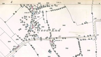
Wood End in 1884
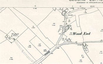 Wood End in 1901
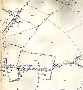 Saint Neots Road in 1884
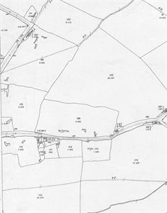
Saint Neots Road in 1901
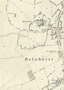
The central part of the village in 1884
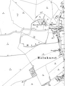
The central part of the village in 1901
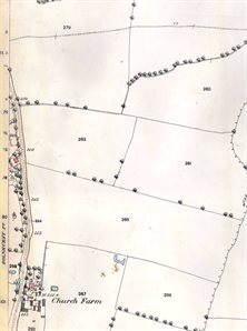
The southern part of the village in 1884
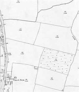
The southern part of the village in 1901