The Parish of Flitwick in General
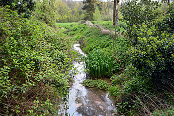
Flitwick mill stream April 2017
Landscape
The majority of Flitwick stands on a subsoil of sandstone known as Woburn Sands Formation. This was laid down between 99 and 121 million years ago in the warm, shallow seas of the Cretaceous Period. The northernmost area of the parish, however, stands on a mudstone classified by the catchy name of West Walton Formation and Ampthill Clay Formation (undifferentiated). This was deposited between 94 and 99 million years ago.
The soils vary. Over the mudstone the soil is of a type called head - a mix of sand, gravel, silt and clay which formed on slopes in the last two million years. This head also occurs in the south and to the north-east. The area around Manor Way is covered in till - a diamicton formed in Ice Age conditions. Much of the eastern part of the town and also Ruxox Farm stands on glacio-fluvial deposits - sand and gravel laid down by Ice Age streams. Finally, Flitwick Moor is famously composed of peat.
Flitwick church stands at 290 feet above sea-level, the library at 260 feet and the station at 256 feet. The junction of Kings Road and Maulden Road is around 226 feet above sea-level whilst Flitwick Moor varies between 209 and 232 feet.
Name
The Place Names of Bedfordshire and Huntingdonshire by A Mawer and Frank M Stenton was published in 1926 but is still the most scholarly study of the county’s place names and their origins. The name means “farm on the stream”, the first element meaning a stream and the Old English “wic” meaning a farm. The name has had considerable variations over the years:
- Flicteuuich: 1086-1175;
- Flicteuuiche: 1086-1175;
- Flittewik: 1220-1392;
- Flittewic: 1220-1392;
- Flyttewyk: 1220-1392;
- Flitwik: 1227-1509;
- Flitwyk: 1227-1509;
- Flitwic: 1227-1509;
- Flytwyc: 1227-1509;
- Fletwyk: 1242-1525;
- Fletwyke: 1242-1525;
- Flittewyke: 1247-1296;
- Flytewyk: 1247;
- Flettwyke: 1276-1452;
- Flotewyk: 1276;
- Flythewick: 1284;
- Flutewyke: 1297;
- Fletwyk: 1321-1368;
- Flitwyke: 1428;
- Fleetwick: 16th-17th centuries.
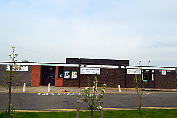
The Village Hall April 2017
Administrative History
Flitwick is an ancient parish, not in the Flitt Hundred, as one would expect, but the Redbornestoke Hundred. It is bounded north by Ampthill; north east by Maulden; east by Flitton; south by Westoning; south-west by Tingrith and Eversholt and west by Steppingley.
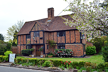
1 Church Road April 2017
Population
The Domesday Book of 1086 recorded that Flitwick and Priestey together contained four villagers and eleven smallholders - a total of fifteen.This number represents the heads of household. To get an idea of the total population it is probably necessary to multiply this figure by a factor of at least four suggesting a total population of around sixty, making it a fairly small settlement.
Censuses have been taken in Britain every ten years since 1801, with the exception of 1941 when World War Two made it impracticable. Figures for Flitwick, which had overtaken Ampthill in size by 1981 and is now [2017] the eighth most populous settlement in the county, are as follows:
- 1801: 436;
- 1811: 413;
- 1821: 489;
- 1831: 636;
- 1841: 693;
- 1851: 732;
- 1861: 773;
- 1871: 842;
- 1881: 817;
- 1891: 900;
- 1901: 1,029;
- 1911: 1,424;
- 1921: 1,639;
- 1931: 1,731;
- 1951: 2,522;
- 1961: 3,604;
- 1971: 5,190;
- 1981: 8,384;
- 1991: 10,833;
- 2001: 12,689;
- 2011: 12,998.