Upper Caldecote Maps
The following maps are only a selection of those held at Bedfordshire and Luton Archives and Records Service.
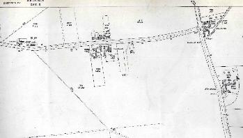
The image below show part of the Northill inclosure map of 1783 [MA2]. To see a larger version, please click on the image.
![Upper Caldecote in 1783 [MA2]](/CommunityHistories/UpperCaldecote/UpperCaldImages/Upper Caldecote in 1783 [MA2]_350x287.jpg)
Upper Caldecote in 1783 [MA2]
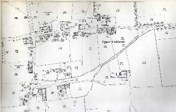
The images below are taken from Ordnance Survey 25 inches to the mile maps for the area. Again, to see a larger version, please click on the relevant image.
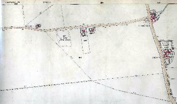
The eastern part of Upper Caldecote in 1884
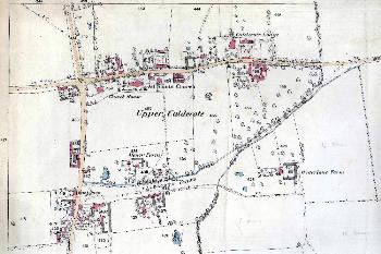
The western part of Upper Caldecote in 1884
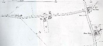
The eastern part of Upper Caldecote in 1901
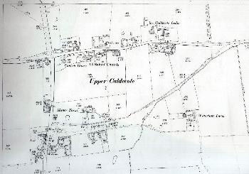
The western part of Upper Caldecote in 1901
The eastern part of Upper Caldecote in 1926
The western part of Upper Caldecote in 1926