Salford Maps
The following maps are only a selection of those held at Bedfordshire and Luton Archives and Records Service. To see larger images of the maps, please click on the appropriate thumbnail
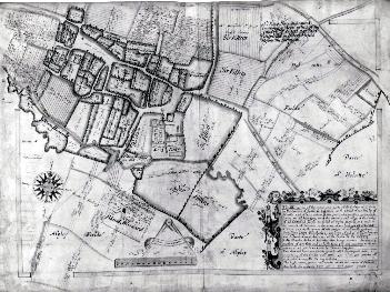
The image above shows part of a map of Salford Manor of 1596 (original in the possession of All Souls' College, Oxford) showing the village [X1/74/2]
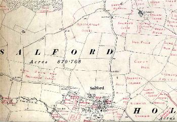
The field names on the two maps immediately above were taken from Inclosure and Tithe Apportionment Maps, were annotated on Ordnance Survey 6 inch to the mile 2nd edition maps of 1902 by the first County Archivist George Herbert Fowler [MC1/3/3/9-10].

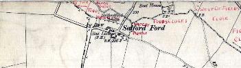
Salford shown on a 1st edition 25 inches to the mile Ordnance Survey of 1883.
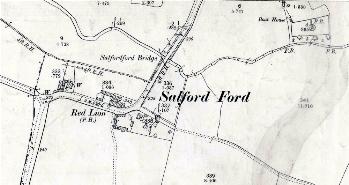
Salford shown on a 2nd edition 25 inches to the mile Ordnance Survey of 1901.