Knotting Maps
To see larger versions of the maps below please click on the appropriate image.
![Knotting in 1646 [R1-254]](/CommunityHistories/Knotting/KnottingImages/Knotting-in-1646-R1-254257x299.jpg)
Knotting in 1646 [ref: R1/254]
The map above shows Knotting in 1646 in an estate map of the Manor of Knotting in the archives of Bedford Estates. It dates from 1646 and was probably made for Lewis Wright who bought the manor from Edmund Waller in 1644. The map would have been passed onto the Duke of Bedford on purchasing the manor in 1774. The surveyor was Seth Partridge.
Knotting in 1822 [ref: MAT28]
The map above is a Tithe Apportionment map for the parish dated 1828. The map shows the owners of all land subject to tithe and the apportionment itself states how much tithe had to be paid on each piece of land to the Rector annually.
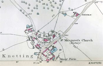
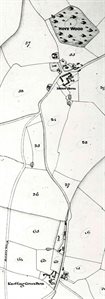
The main part of the village in 1884
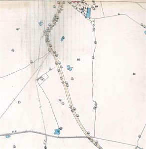
Just south of the village in 1884
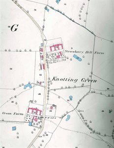
Knotting Green in 1884
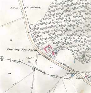
Knotting Fox in 1884
The four maps above are from the Ordnance Survey 25 inches to the mile first series.