The Parish of Willington in General
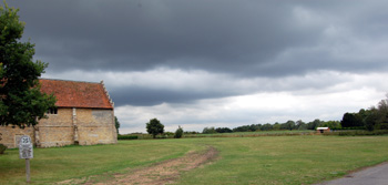
The flat land of Willington August 2010
Landscape
Volume III of the Victoria County History for Bedfordshire was published in 1912. At that date the parish contained 1,659 acres, 2 roods of which 672 acres were arable land producing wheat, barley, peas and beans, 505 acres, 3 roods were permanent grass and 183 acres consisted of woods and plantations.
The land is generally low lying. The church is about 88 feet above sea-level, the river 74 feet and The Old Forge stands at the same height as the church. The land is higher to the south with Mox Hill standing at 213 feet above sea-level.
The solid, or underlying, geology is a mudstone known as Oxford Clay Formation. It was laid down between 154 and 164 million years ago in the warm, shallow seas of the Jurassic Period.
Superficial geology overlies the solid geology and has been laid down in the last two million years. Along the river is an alluvium of sand, gravel, clay and silt with river terrace depoits of similar material covering the area of the village.
Name
Willington is first mentioned in the Domesday Book of 1086. The name is probably derived from the Old English welig-tun meaning "willow farm". The name has undergone a number of variations over the years with the modern version first recorded in 1457:
- Welitone: 1086;
- Willitona: c. 1150-1376;
- Wyllitona: c. 1150-1376;
- Wilitone: 1202-1388;
- Wylitone: 1202-1388;
- Wylinton: 1220-1276;
- Wilinton: 1220-1276;
- Wulinton: 1227;
- Wiletuna: 13th century;
- Wylyton: 1276;
- Welinton: 1276;
- Wellinton: 1276;
- Wylington: 1276-1361;
- Wilton: 1284-1322;
- Welyngton: 1354-1428;
- Wyllington: 1457-1539.
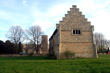
The stables with the church in the background April 2010
Administrative History
Willington is an ancient parish in the Wixamtree Hundred. It is a long thin parish heading south-east from the River Great Ouse and is bordered by Renhold and Great Barford to the north, Mogerhanger to the east, Northill to the south-east, Old Warden on a small part of the south and Cople to the west. The village itself lies in the north of the parish.
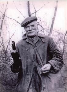
Local character Bertie Bygraves
Population
In The Domesday Book of 1086, Willington contained 21 men. To get a true idea of the total population one probably has to multiply this figure by a factor of at least four to account for their dependents - giving a total population of over 80 - which compares well with other Bedfordshire parishes at this date. However, in more recent history Willington has never been a large or populous village as the following population statistics, garnered from sources such as censuses demonstrate:
- 1801: 229;
- 1811: 249;
- 1821: 286;
- 1831: 332;
- 1841: 268;
- 1851: 282;
- 1861: 290;
- 1871: 275;
- 1881: 248;
- 1891: 234;
- 1901: 204;
- 1911: 370;
- 1921: 432;
- 1931: 428;
- 1951: 475;
- 1961: 510;
- 1971: 718;
- 1981: 708;
- 1991: 762;
- 2001: 784;
- 2011: 751.