Chalgrave Maps
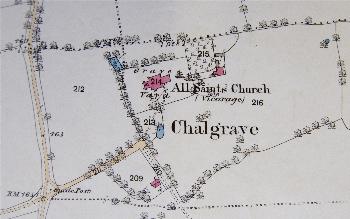
The maps below show the area of the church and of Manor Farm on the inclosure map of 1800 and on the 25 inches to the mile Ordnance Survey 1st, 2nd and 3rd edition maps. To see a larger version please click on the appropriate image.
![The area around the church in 1800 [MA30]](/CommunityHistories/Chalgrave/ChalgraveImages/The area around the church in 1800 [MA30]_349x254.jpg)
The area around the church in 1880 [MA30]
The area around the church in 1882

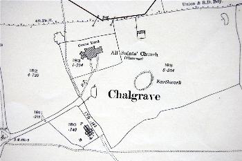
The area around the church in 1901
The area around the church in 1925
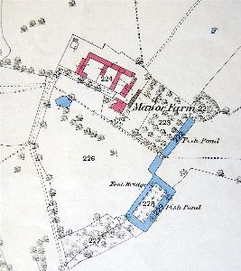
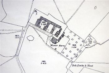
Manor Farm in 1882
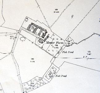
Manor Farm in 1901
Manor Farm in 1925