The Community of Thorncote in General
Thorncote Green March 2010
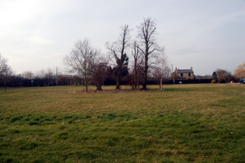
Landscape
The land is low lying, The Green being just 85 feet above sea level. The solid, or underlying, geology is a mudstone called Oxford Clay Formation, laid down in the warm, shallow seas of the Jurassic period between 154 and 164 million years ago.
Superficial geology overlies the solid geology and has all been laid down in the last two million years. Thorncote Green has a layer of sand, gravel, silt and clay called head, the result of deposition by flowing water. Some way east of Thorncote Road is a roughly rectangular layer of glaciofluvial deposit of sand and gravel formed by glaciation in the mid-Pleistocene Epoch.
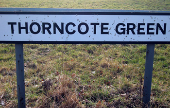
Thorncote Green sign March 2010
Name
Thorncote is first recorded in 1206, the name means "cottages by the thorn-bush". The following variations have been recorded:
- Thornecote: 1206;
- Thurnecot: 13th century;
- Thurnekote: 1300;
- Thorncut: 1780.
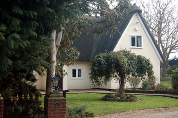
17 Thorncote Green March 2010
Administrative History
Thorncote Green consists of four farms (Village, Thorncote, Little Oak and Rotary) and a number of houses and has always been a hamlet of the ancient parish of Northill.