The Parish of Stevington in General
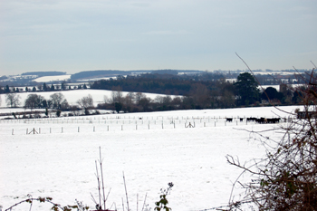
View from West End looking east December 2009
Landscape
Volume III of The Victoria County History for Bedfordshire was published in 1912. At that date the parish of Stevington contained 1,820 acres of which roughly a third was arable and most of the rest grassland. The main crops were wheat, beans, barley, oats and clover.
The ground mainly slopes south-west to north-east, the highest point, 303 feet above sea-level being in the west of the parish and the lowest, just over a hundred feet in the east near the River Great Ouse. The church stands at about 140 feet above sea-level and the windmill at about 180 feet. Hart Farm barns stand at nearly 200 feet.
The geology is complex. The solid, or underlying, geology consits of four different types of rock, all laid down in the warm, shallow seas of the Jurassic Period. the four types are as follows:
Superficial geology is the material laying above the solid geology. It was all deposited within the last two million years. Along the river is an alluvium of sand, gravel, clay and silt and in the eastern part of West End is a glacial till. Otherwise the soil reflects the nature of the solid geology below, sand or clay.
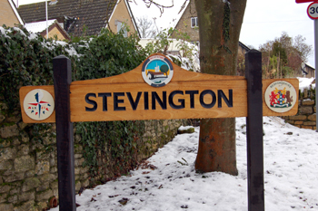 Stevington sign December 2009
Name
The name of Stevington means "Styfa's people's farm", Styfa being an Anglo-Saxon personal name. The name has had a few variations over the centuries, as seen below:
- Stiuentone: 1086-1316;
- Styuenton: 1086-1316;
- Stiuiton: 1196l
- Stiuinton: 1227-1282;
- Stiuington: 1247-1287;
- Stiuingdon: 1276;
- Steventon: 1284-1392;
- Stevintone: 1302-1346;
- Stevyntone: 1302-1346;
- Stevyngton: 1315-1515;
- Styvyngton: 1349-1350;
- Stephynton: 1521
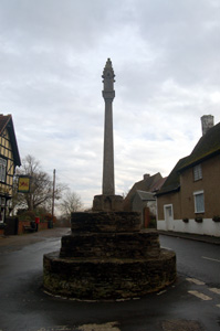
The Village Cross December 2008
Administrative History
Stevington is an ancient parish in the Willey Hundred. It underwent a small boundary change in 1948 [CDP58] when a small portion of it was transferred to Turvey. Stevington is bounded by Pavenham to the north, Oakley to the north-east, Bromham to the south-east, Turvey to the west and Carlton and Chellington to the north-west.
![Stevington about 1900 [Z1306/112]](/CommunityHistories/Stevington/StevingtonImages/Stevington about 1900 [Z1306-112].jpg)
Stevington about 1900 [Z1306/112]
Population
The population of Stevington has been fairly consistent in the last two hundred years. However, they do show the pattern fairly typical of most Bedfordshire rural parishes - rising to a peak in 1871 then declining as people left the countryside to migrate to towns as agricultural mechanisation cut the number of jobs available. From a low in 1961 figures have been rising as new housing has been built:
- 1801: 415;
- 1811: 436;
- 1821: 485;
- 1831: 500;
- 1841: 602;
- 1851: 586;
- 1861: 606;
- 1871: 735;
- 1881: 624;
- 1891: 601;
- 1901: 536;
- 1911: 479;
- 1921: 467;
- 1931: 479;
- 1951: 409;
- 1961: 386;
- 1971: 589;
- 1981: 604;
- 1991: 555;
- 2001: 581;
- 2011: 552.