Stanford Maps
The following maps are only a selection of those held at Bedfordshire Archives. To see a larger version of each map, please click on the appropriate thumbnail
Southill Inclosure Map of 1800 [ref: W2/26]

Ordnance Survey 25 Inches to the Mile 2nd Edition Maps of 1901
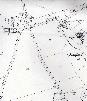
Central Stanford
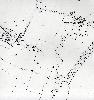
East Stanford
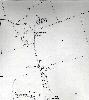
Stanfordbury and Blewett Hall