The Community of Shelton in General

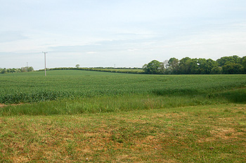
Looking towards the county boundary by the former Cat and Custard Pot May 2011
Landscape
Volume III of The Victoria County History for Bedfordshire was published in 1912. At that date the parish comprised 946 acres, a little over half of which was arable land. The main crops were wheat, barley, beans and peas.
The church is just over 180 feet above sea-level. the highest point in the parish, along the B645 is about 265 feet high.
The solid, or underlying, geology is a mudstone called Oxford Clay Formation, laid down between 154 and 164 million years ago in the warm, shallow seas of the Jurassic Period. Most of the village has a superficial geology of river terrace deposits, a mixture of sand, gravel, clay and silt. In the north of the parish is an area of diamicton called Oadby Member.

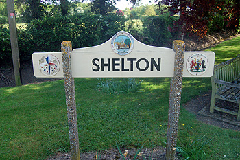
The Shelton sign May 2011
Name
Shelton probably comes from the Old English “scelf-tun” meaning a farm on sloping ground. The name has appeared in the following forms over the years, the form Shelton first appearing in 1242:
- Eseltone: 1086;
- Sheltune: 1197;
- Selton: 1202-1287;
- Scelton: 1202-1302;
- Schelton: 1242-1243;
- Sylton: 1276;
- Schylton: 1276-1282;
- Schilton: 1276-1282;
- Selton alias Shelton: 1292

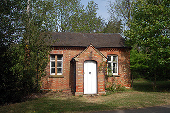
The former school May 2011
Administrative History
Shelton is an ancient parish. The medieval village has been almost entirely abandoned. It lay to the south of the present village. In 1934 the civil parish was joined with neighbouring Dean to form the parish of Dean and Shelton. The ecclesiastical parish of Shelton remains separate but is included in the Team Ministry of the Stodden Churches with the ecclesiastical parishes of Dean, Swineshead, Pertenhall, Melchbourne and Yielden. Shelton is bordered by Dean to the east and south, Yielden to the south and Hargrave [Northamptonshire] to the north.

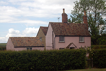
Old Rectory Cottage May 2011
Population
The Domesday Book of 1086 records 22 people in Shelton. These are just the heads of households and so the figure must be multiplied by a factor of at least four, suggesting around 90 people. Given that the population of England was only 1,500,000 to 2,500,000 at that date Shelton was obviously a proportionately larger place than in 1801 when the country’s population was over 8,000,000.
In recent times Shelton has always been a small place, the highest population recorded in the last two centuries being 175 in 1871 since when it has dropped a long way due to smaller family sizes and the drift of people away from the land and to the towns in the last quarter of the 19th century. The population figures for Shelton below are taken from census reports until 1931, the figures from 1951 being for Dean and Shelton combined.
- 1801: 100;
- 1811: 97;
- 1821: 129;
- 1831: 132;
- 1841: 128;
- 1851: 124;
- 1861: 143;
- 1871: 175;
- 1881: 149;
- 1891: 112;
- 1901: 96;
- 1911: 93;
- 1921: 80;
- 1931: 101.
For Dean and Shelton:
- 1951: 333;
- 1961: 309;
- 1971: 312;
- 1981: 328;
- 1991: 371;
- 2001: 386;
- 2011: 418.
The parish register for Shelton dating from 1706 to 1812 [P94/1/1] gives more information on early censuses, as transcribed below:
"In 1811 - 50 males, 47 females. Total 97. 19 Houses - 20 Families - 16 of which, chiefly employed in agriculture - 2 in Trade & 2 not in the preceding Classes. No houses building or uninhabited".
"In 1821 -69 Males, 60 Females = 129. 23 Inhabited Houses - 25 Families - 22 chiefly employed in Agriculture - 2 in trade and 1 not in the preceding classes. No houses building - One uninhabited".
"In 1831 - Males 63 - Females 69. Total 132. 23 Houses - 24 Families 20 of which chiefly employed in agriculture 3 in Trade and 1 not in the preceding classes - no houses building or uninhabited".
"Population of Shelton in 1841 - Males 65 - females 63 - Total 128. 23 Houses - 1 Building".
"Census taken in 1851 - Males 58 - Females 60 - Total 124 - 25 Houses - 4 Families living at Dean".