The Community of Potsgrove in General

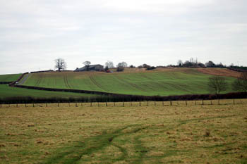
Potsgrove ridge from the west January 2008
Landscape
The solid, or underlying, geology of Potsgrove is a claystone known as Woburn Sands Formation. This sedimentary bedrock was laid down between 99 and 121 million years ago in the warm, shallow seas of the Cretaceous Period. The top soil is mostly a glacial till - a diamicton laid down during the Ice Ages. Around Hill Farm the top soil is a glaciofluvial deposit of sand and gravel laid down at the same time by a river or stream.
Potsgrove is quite a high lying settlement by Bedfordshire standards. The church stands at 496 feet above sea-level with Old Farm on the ridge at 505 feet.

Name
Potsgrove is first recorded in the Domesday Book of 1086 and may mean, surprisingly, "Pot(t)'s grove". Pott was an Anglo-Saxon personal name. Another possibility is "pool grove", Pott also meaning a pool; or the name might even mean "potter's grove". The name has undergone a number of changes over the years as follows:
- Potesgraue: 1086-1428;
- Pottesgrave: 1315-1504;
- Pattesgrave: 1220-1276;
- Portesgrave: 1242-1428;
- Podesgraua: 1247-1373;
- Potsgraue: 1254;
- Potegraue: 1276.

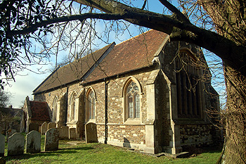
The church from the south-east February 2012
Administrative History
The parish adjoins Battlesden and, like it, has undergone a considerable depopulation. It was an ancient parish in the Manshead Hundred and remains a separate civil parish. For ecclesiastical purposes it was united (as Pottesgrove) with Battlesden in 1928

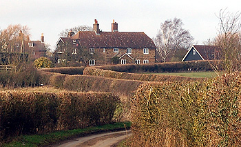
Hill Cottage February 2012
Population
Twelve men are noted as tenants of Jocelyn le Breton's in 1086. To get a true idea of the population this figure should be multiplied by a factor of at least four to include all their dependents, suggesting a total population of around 50, not exceptionally low for the time.
Oddly, a population of 50 today would be an increase on current levels. Potsgrove has never been a populous parish but the settlement in Sheep Lane did boost it to over three hundred in the mid 19th century. The Great Agricultural Depression of 1873-1896 caused the population of the parish to fall by nearly two thirds. The declining population is shown by the following census figures:
- 1801: 157
- 1811: 146;
- 1821: 183;
- 1831: 262;
- 1841: 294;
- 1851: 262;
- 1861: 298;
- 1871: 312;
- 1881: 203;
- 1891: 157;
- 1901: 114;
- 1911: 108;
- 1921: 100;
- 1931: 89;
- 1951: 85;
- 1961: 69;
- 1971: 62;
- 1981: 59;
- 1991: 42;
- 2001: 42
- 2011: 220 with Battlesden and Milton Bryan