Ireland and Rowney Maps
The following maps are only a selection of those held at Bedfordshire Archives. To view a larger version of the maps below, please click on the appropriate thumbnail
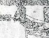
Inclosure Map of 1800 [ref: W2/26]
2nd Edition 25 Inches to the Mile Ordnance Survey Map of 1901
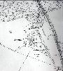
Ireland in 1901
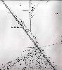
Area around Southill Station 1901